Thanks for submitting!
You will be contacted as soon as possible


PROJECTS
GEM’s collaborative network comprises more than 100 public and private institutions, which has led to GEM’s participation in more than 50 regional, national, and multilateral projects covering Europe, Middle East, South America, Central America, North America, Sub-Saharan Africa, Asia and the Pacific.

Key Projects - 2013 and beyond
0
Filters: 47 results found
View:

Seismic impact scenarios for Istanbul
Status:
Completed
The project aims to provide information on the cost per square meter (USD) for reconstruction and various retrofitting options, and provide seismic impact scenarios for the Istanbul metropolitan area, with disaggregated information on building types, building age, and spatial areas.
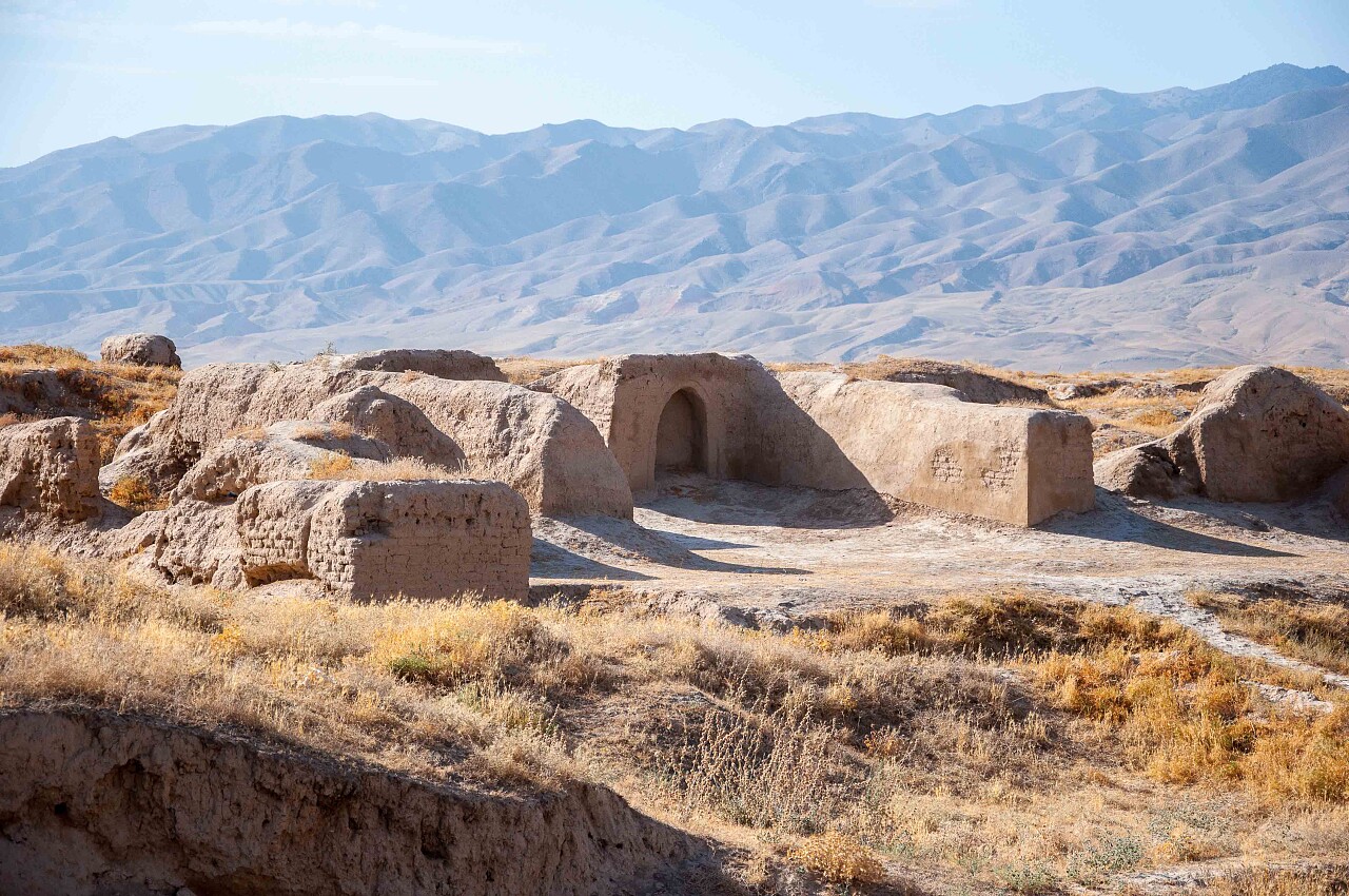
CAREC Phase II: Developing a Disaster and Climate Risk Transfer Facility in the Central Asia Regional Economic Cooperation Region
Status:
Ongoing
This project builds upon the modelling and analytical work conducted under TA-9878 (https://www.globalquakemodel.org/proj/carec). It involves the preparation and implementation of a pilot disaster relief bond (DRB) that will be issued by the Asian Development Bank (ADB) for two countries, namely, the Kyrgyz Republic and Tajikistan.
Piattaforma Analisi Pericolosità E Rischio Sismico
Status:
Ongoing
The Global Earthquake Model (GEM) Foundation has launched the PAPERS project (Piattaforma Analisi Pericolosità E Rischio Sismico), an initiative aimed at developing a new WebGIS platform for scenario hazard and risk assessment in Italy. The project has been funded as one of the cascade grants launched by the High-Performance Computing, Big Data e Quantum Computing Research Centre, one of the five National Centres established by the Italian National Recovery and Resilience Plan (NRRP), under Spoke 5 - Environment and Natural Disasters.
Title | Location | Status |
|---|---|---|
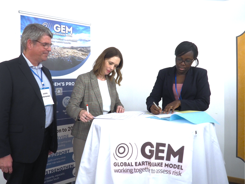
Scientific Evidence for Risk Engineering Norms and Education (SERENE) | LocationUganda | Ongoing |
Seismic impact scenarios for Istanbul | Completed | |
CAREC Phase II: Developing a Disaster and Climate Risk Transfer Facility in the Central Asia Regional Economic Cooperation Region | Central Asia | Ongoing |
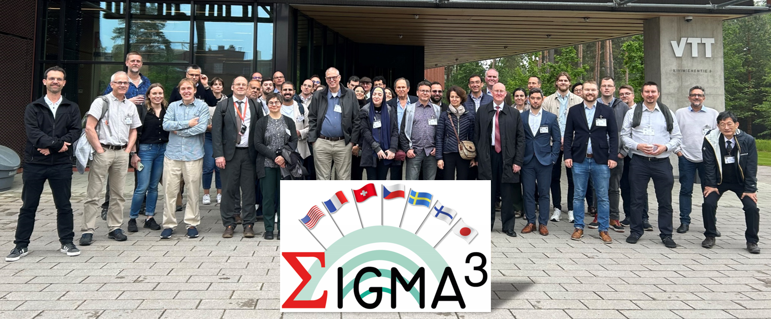
SeismIc hazard and Ground Motion Assessment | Ongoing | |
Piattaforma Analisi Pericolosità E Rischio Sismico |
| Ongoing |

Completed
Ongoing
Washington DC