Thanks for submitting!
You will be contacted as soon as possible


QUICK LINKS


PROFILES
PUBLICATIONS
EXPOSURE
VULNERABILTY
SOFTWARE
EQ MODELS
Search Results
Search this site
1170 results found with an empty search
- OpenQuake: an Open approach for collaborative Earthquake Risk Assessment - GEM Foundation
News OpenQuake: an Open approach for collaborative Earthquake Risk Assessment By: Jul 2, 2018 Share Facebook LinkedIn University College London hosted the seminar on the 18th Mayat Chadwick Building, UCL on the use of open approach for earthquake risk assessment featuring GEM's OpenQuake. GEM represented by Paul Henshaw, Director of Technology and Development discussed the work and goals of the GEM (Global Earthquake Model) Foundation and share some experiences building OpenQuake, an open source platform for earthquake risk awareness and assessment. He also shared the challenges encountered managing and presenting geospatial data, and solutions adopted to address them. He also underscored how GEM applies the open approach to software, data and methodologies and its impact on collaborative projects. "I believe that openness and transparency are important ingredients when it comes to risk assessment. At GEM, these principles are at the heart of all our work,” Paul Henshaw, GEM Director of Technology and Development on what makes OpenQuake a cut above rest. The seminar was organized by University College London (UCL) on May 29th to promote the open source computational tools for earthquake risk assessment. UCL is a GEM partner in GFDRR/DFID Challenge Funds. No images found. GALLERY 1/0 VIDEO RELATED CONTENTS
- From Data Sharing to Disaster Response: USGS-GEM Agreement to Strengthen Global Earthquake Preparedness - GEM Foundation
News From Data Sharing to Disaster Response: USGS-GEM Agreement to Strengthen Global Earthquake Preparedness By: May 14, 2024 May 14, 2024 Share Facebook LinkedIn Photo credit: David Wald, USGS The United States Geological Survey (USGS) Geologic Hazards Science Center and the Global Earthquake Model (GEM) Foundation signed a new 5-year technical agreement on May 2nd, 2024 at the Seismological Society of America (SSA) Annual Meeting in Anchorage, Alaska, with the joint objective of improving earthquake preparedness and response efforts worldwide. This collaborative effort will leverage the expertise and resources of both organisations, leading to advancements in seismic hazard and risk modelling and ultimately a more earthquake-resilient future. Helen Crowley, GEM Secretary General: “This agreement renews our longstanding relationship with USGS on a number of technical fronts. By combining our expertise with USGS, we can together develop more reliable hazard and risk models and products that can be implemented on a global scale.” Towards a Resilient Future: A Shared Mission Earthquakes are a constant threat, posing a significant risk to life, infrastructure, and economies around the globe. Both USGS and GEM share a common mission: to understand and mitigate earthquake hazards and risks. The USGS Geologic Hazards Science Center, a U.S. government agency, is located in Golden, Colorado and monitors earthquakes globally, provides real-time loss estimations after major events, and assesses seismic hazard nationally. GEM, an international non-profit organisation, develops open-source tools and models for seismic hazard and risk assessment at global, regional and national scales. Building on Strengths: Key Areas of Collaboration The partnership outlines several key areas of collaboration aimed at strengthening earthquake preparedness and response on a global scale. These include: 1. Joint Research and Development: The agreement paves the way for collaborative research to improve earthquake hazard and loss modelling approaches. This will involve identifying gaps in existing methods and developing new tools to better estimate the impacts of earthquakes. 2. Enhanced Communication and Data Sharing: USGS and GEM will work together to improve communication and share scientific knowledge and data. This will allow for the integration of USGS's ShakeMap products, which describe ground shaking intensity following earthquakes, into GEM's scenario modelling efforts. Additionally, GEM's Global Seismic Risk Model will be tested and implemented within the USGS PAGER system, which provides near real-time loss estimations after earthquakes. 3. Vulnerability and Exposure Modelling: A crucial aspect of the collaboration is working together to refine vulnerability and exposure modelling, particularly in the United States. This will involve joint investigations to analyse and calibrate earthquake vulnerability models for various building types. 4. Global Impact: The agreement extends beyond the US. Both organisations will work together to create collaborative initiatives with regional and national government agencies. This will promote the use of open-source tools and data to advance earthquake risk reduction efforts worldwide. Ryan Gold, Center Director, Geologic Hazards Science Center, U.S. Geological Survey: “The USGS is proud to partner with GEM to leverage our combined strengths in earthquake science and engineering. This collaboration will lead to significant advancements in how we assess and communicate earthquake risks, ultimately saving lives around the world.” To learn more about USGS earthquake products, visit https://www.usgs.gov/programs/earthquake-hazards . To download GEM seismic hazard and risk products, visit https://www.globalquakemodel.org/products . No images found. GALLERY IMG_1090.jpg IMG_1088.jpg IMG_1085.jpg IMG_1090.jpg 1/3 Photo credit: David Wald, USGS VIDEO RELATED CONTENTS
- Europe Exposure | Global EarthQuake Model Foundation
Repository with the inventory of residential, commercial and industrial buildings in Europe Products Europe Exposure Repository with the inventory of residential, commercial and industrial buildings in Europe Share Facebook LinkedIn Description The Global Exposure Model is a mosaic of local and regional models with information regarding the residential, commercial, and industrial building stock at the smallest available administrative division of each country and includes details about the number of buildings, number of occupants, vulnerability characteristics, average built-up area, and average replacement cost. The dataset is developed and maintained by the GEM Foundation, using a bottom-up approach at the global scale, using national statistics, socio-economic data, and local datasets. This model allows the identification of the most common types of construction worldwide, regions with large fractions of informal construction, and areas prone to natural disasters with a high concentration of population and building stock. For the case of Europe, the exposure model is built upon the dataset developed by the European Facilities for Earthquake Hazard and Risk (EFEHR). The original information can be consulted in the repository for the European Seismic Risk Model (ESRM20) in [this link](https://gitlab.seismo.ethz.ch/efehr/esrm20_exposure) The Europe region of the model includes the information pertaining the following countries/territories: Albania, Andorra, Austria, Belarus, Belgium, Bosnia_and_Herzegovina, Bulgaria, Croatia, Cyprus, Czechia, Denmark, Estonia, Finland, France, Germany, Gibraltar, Greece, Hungary, Iceland, Ireland, Isle_of_Man, Italy, Kosovo, Latvia, Liechtenstein, Lithuania, Luxembourg, Malta, Moldova, Monaco, Montenegro, Netherlands, North_Macedonia, Norway, Poland, Portugal, Romania, Serbia, Slovakia, Slovenia, Spain, Sweden, Switzerland, Turkey, Ukraine, United_Kingdom How to cite this work If you make use of this work, please cite both the publication and the data. Publication: Yepes-Estrada, C., Calderon, A., Costa, C., Crowley, H., Dabbeek, J., Hoyos, M., Martins, L., Paul, N., Rao, A., Silva, V. (2023). Global Building Exposure Model for Earthquake Risk Assessment. Earthquake Spectra. doi:10.1177/87552930231194048 Data: Yepes-Estrada, C., Calderon, A., Costa, C., Crowley, H., Rao, A., Paul, N., & Silva, V. (2026). Global Exposure Model (2026.0.0). Zenodo. https://doi.org/10.5281/zenodo.8117363. Available Versions An open version (v2026.1) of the model, agreggated at Administrative Level 1, is available for direct download under a CC BY-NC-SA 4.0 license. Users interested in this version can click the "Open Repository" button in the right panel to access the information. The full version for any country/territory, at the highest resolution available, can be requested by clicking on the "License Request", where a specific license will be provided, depending on the use case. License information The open version is available under a Creative Commons CC BY-NC-SA 4.0 license, which requires: Attribution (you must give appropriate credit, provide a link to the license, and indicate if changes were made) Non-commercial (you may not use the material for commercial purposes) ShareAlike (derivatives created must be made available under the same license as the original) Any deviation from these terms incur in license infringement. For commercial use of the model, a specific license agreement must be made tailored to your use case, in such instance please click on "License Request". Facebook LinkedIn Share Latest Version v2026.0 License CC BY-NC-SA 4.0 Available resources Open Repository License Request text Map View Search Popup title Close Country/Region Available Resources Afghanistan Exposure Africa Exposure Alaska Exposure Country/Region Available Resources Afghanistan Vulnerability Africa Vulnerability Alaska Vulnerability Country/Region Resource Url Afghanistan Risk Profile Africa Risk Profile Alaska Risk Profile Search Found Country/Region Resource Url Afghanistan Exposure Africa Exposure Alaska Exposure Preview Preview is not available. Search Found Country/Region Resource Url Afghanistan Vulnerability Africa Vulnerability Alaska Vulnerability Preview Preview is not available. Search Found Country/Region Resource Url Afghanistan Risk Profile Africa Risk Profile Alaska Risk Profile Preview Preview is not available. Related products GEM Building Taxonomy Global Seismic Embodied Carbon Risk Global Seismic Hazard Map Global Liquefaction Hazard Global Exposure Model Global Vulnerability Model Global Map of Road Exposure to Ground Shaking and Liquefaction Global Seismic Risk Map Country-Territory Seismic Risk Profiles Related publications European Seismic Risk Model 2020: Focus on Croatia Read More The European Seismic Risk Model 2020 (ESRM 2020) Read More Evaluation of Seismic Risk on UNESCO Cultural Heritage sites in Europe Read More For downloading or accessing detailed product information like PNG/PDF maps, datasets, license request, shapefiles and more, please switch to a desktop or laptop computer. Thank you for your understanding.
- Local solutions to global problems: reducing disaster risk through collaboration and openness - GEM Foundation
News Local solutions to global problems: reducing disaster risk through collaboration and openness By: Oct 12, 2021 Share Facebook LinkedIn TREQ Team meeting with engineers of the Municipality of Quito, Ecuador. The 2021 edition of IDDR Day focuses on ‘International cooperation for developing countries to reduce their disaster risk and disaster losses.’ - the sixth of the Sendai Seven targets. GEM’s work over the past decade in developing countries has accelerated the assessment of risk and incorporation of risk-based decisions into planning and sustainable development by merging the interests of public and private sectors, and collaborating with local governments. John Schneider, GEM Secretary General, underscores GEM’s collaborative and inclusive approach by saying that “GEM develops trust with local partners and stakeholders through projects that provide technical support and training on the use and application of GEM models, tools and methodologies. We ensure that local scientists, experts and local decision-makers are involved from the start.” Most recently, GEM’s Training and Communication for Earthquake Risk Assessment or TREQ Project, funded by USAID, has demonstrated this by GEM working together with local partners in building the capacity for urban earthquake risk assessment in Quito, Ecuador; Cali, Colombia; and Santiago de los Caballeros, Dominican Republic. Building on the success of GEM’s previous collaborative efforts in the South America Risk Assessment project (SARA 2013-2016) and Central America and the Caribbean Risk Assessment project (CCARA 2017-2018), the TREQ team, in collaboration with local experts, has updated the hazard and risk models of the pilot cities using more detailed hazard and risk information. Since 2020, the TREQ team has trained in using OpenQuake for urban earthquake hazard and risk assessments ( ). The project also produced training and educational materials that are being adapted for university courses through the project’s The results* of the TREQ project will be released openly, and will be of interest to a wide-range of users – from risk analysts, emergency planners and managers to researchers, modelers and the public at large. The analysis methods and collaboration approach set the foundation for enhancing earthquake hazard and risk assessment for other cities and urban areas in Central and South America, and may be extended worldwide to cities at risk and in need of assistance. “The TREQ project has served as a venue for thorough discussion and developing skills in the hazard and risk assessment fields in the region. Working groups established in the cities have facilitated the sharing of data, knowledge, methodologies and results between the local partners and GEM scientists. Over the past two years, we have mutually learned from our diverse backgrounds and experiences.” Catalina Yepes, GEM Project Manager on the importance of local collaboration in disaster risk reduction. For other examples of GEM’s collaborative work in disaster risk reduction in developing countries, check the following links below: - - - - - - More information on UNDRR International Day for Disaster Risk Reduction can be found at . ----- * While most of the models and datasets will be available, there will be some limitations due to privacy considerations of local governments. No images found. GALLERY 1/0 Gallery VIDEO RELATED CONTENTS
- Material didáctico para sensibilizar a la comunidad sobre el riesgo sísmico. Aplicación para el Área Metropolitana del Valle de Aburrá (AMVA) | GEM Foundation
Publications Material didáctico para sensibilizar a la comunidad sobre el riesgo sísmico. Aplicación para el Área Metropolitana del Valle de Aburrá (AMVA) Share Facebook LinkedIn Download 2022 | Report El presente documento es el resultado del esfuerzo colaborativo entre la Fundación GEM, la administración del Área Metropolitana del Valle de Aburrá (AMVA) y su proyecto Sistema de Alerta Temprana de Medellín y el Valle de Aburrá - SIATA y la Universidad EAFIT. El objetivo de este reporte es generar material didáctico para sensibilizar a la comunidad sobre el riesgo sísmico que pueda servir de apoyo a las personas encargadas de comunicar este tema a diferentes grupos de la sociedad. El público objetivo de la sesión va desde estudiantes en diferentes grados de escolaridad a la comunidad general, incluyendo al personal que participa en las actividades de planeación, reducción y mitigación del riesgo de desastres.
- GEM: For a safer and earthquake resilient future (brochure) | GEM Foundation
Publications GEM: For a safer and earthquake resilient future (brochure) Share Facebook LinkedIn Download 2019 | Brochure Initiated by the OECD’s Global Science Forum, GEM was formed in 2009 as a non-profit foundation in Pavia, Italy, funded through a public-private sponsorship with the vision to create a world that is resilient to earthquakes. GEM’s mission is to become one of the world’s most complete sources of risk resources and a globally accepted standard for seismic risk assessment, whose products are applied in risk management worldwide.
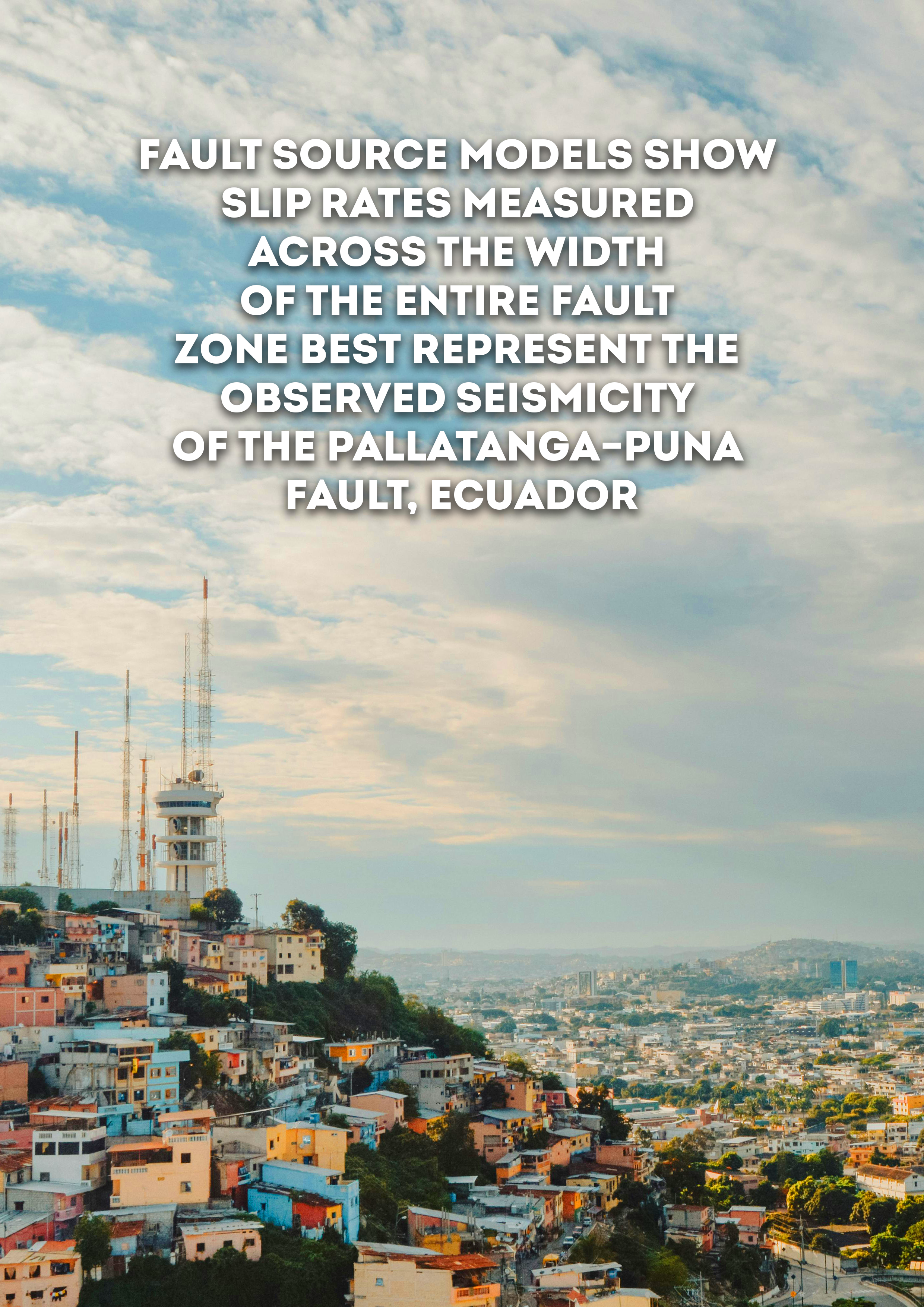
- Fault Source Models Show Slip Rates Measured across the Width of the Entire Fault Zone Best Represent the Observed Seismicity of the Pallatanga–Puna Fault, Ecuador | GEM Foundation
Publications Fault Source Models Show Slip Rates Measured across the Width of the Entire Fault Zone Best Represent the Observed Seismicity of the Pallatanga–Puna Fault, Ecuador Share Facebook LinkedIn Download 2024 | Peer-reviewed We explore how variation of slip rates in fault source models affect computed earthquake rates of the Pallatanga–Puna fault system in Ecuador. Determining which slip rates best represent fault‐zone seismicity is vital for use in probabilistic seismic hazard assessment (PSHA). However, given the variable spatial and temporal scales slip rates are measured over, significantly different rates can be observed along the same fault. The Pallatanga–Puna fault in southern Ecuador exemplifies a fault where different slip rates have been measured using methods spanning different spatial and temporal scales, and in which historical data and paleoseismic studies provide a record of large earthquakes over a relatively long time span. We use fault source models to calculate earthquake rates using different slip rates and geometries for the Pallatanga–Puna fault, and compare the computed magnitude–frequency distributions (MFDs) to earthquake catalog MFDs from the fault zone. We show that slip rates measured across the entire width of the fault zone, either based on geodesy or long‐term geomorphic offsets, produce computed MFDs that compare more favorably with the catalog data. Moreover, we show that the computed MFDs fit the earthquake catalog data best when they follow a hybrid‐characteristic MFD shape. These results support hypotheses that slip rates derived from a single fault strand of a fault system do not represent seismicity produced by the entire fault zone.
- China Financial Loss Model | GEM Foundation
License Request Form You have chosen to get more information about: China Financial Loss Model Financial Loss Please check the link below to see if this product already meets your your requirements before submitting your request for a license. Thank you. DOWNLOAD THE OPEN VERSION Summary of steps to obtain a license for the requested product. Fill in the application form below. Click Submit. Please check your email Inbox or Spam folder for the summary of your request. You will then be contacted by the GEM Product Manager with either a request for more information, or a request to sign the license. If you do not hear from us within 2 weeks, please send an email to product@globalquakemodel.org . REQUEST DETAILS A. Requesting party information First Name Last Name Role/Job Email Business type Business type Other business Sector Sector Other sector B. License agreement signatory information The signatory must be someone who is authorised to sign license agreements on your behalf such as your immediate supervisor, manager or legal officer. If you’re a PhD student, the signatory must be your adviser or a university officer in charge of license agreements or similar legal documents. Full Name of Signatory Position Company Email of Signatory Organisation name Complete Address C. Purpose of request GEM is able to offer products for free because of the support of our project partners, national collaborators and institutional sponsors. All of GEM’s products are freely available for public good, non-commercial use, but with different license restrictions. In most cases we release products under an open license (e.g., CC BY-SA or CC BY-NC-SA), which permits (re)distribution. In this case, we are granting access under a more restricted license that forbids distribution or disclosure and requires signing by GEM and the licensee in order to better assure accountability for the confidentiality of the information. In order for GEM to properly assess your request, please answer the following questions below. 1. Explain briefly how will the GEM product be used e.g. project, research including the expected results and the foreseen public benefit. Minimum 60 words. 2. Will you be able to share the results of your work with GEM? YES NO 3. Will you be able to provide feedback to GEM on the quality and usefulness of this product via a survey? YES NO D. Privacy Policy By submitting this form, you consent to the processing of your personal data in accordance with our Privacy Policy and the EU General Data Protection Regulation (GDPR). We are committed to safeguarding your information and ensuring it is only used for the purpose outlined in this form. You have the right to access, rectify, or delete your data at any time. For more information, please refer to our Privacy Policy. I agree Words: 0 Email us at product@globalquakemodel.org if you're experiencing problems submitting your application. Thank you. Submit Thanks for submitting! You will be contacted as soon as possible Incomplete data. Please fill in all required fields. Thank you.
- Alaska Hazard | Global EarthQuake Model Foundation
OpenQuake engine input model to perform hazard calculations for Alaska Products Alaska Hazard OpenQuake engine input model to perform hazard calculations for Alaska Share Facebook LinkedIn Description The 2007.0.0 seismic hazard model for Alaska (USA) was developed by the United States Geological Survey (Wesson et al., 2007). The model covers the state of Alaska including the Aleutian Islands. The model has been translated from its original format into the OpenQuake (OQ) engine by GEM. Since the original version, two updates were made to the model by the GEM hazard team, leading to the latest release (v2007.2.0), which was used in the computation of the 2026 Global Earthquake Hazard Maps. How to cite this work Wesson, Robert L., Boyd, Oliver S., Mueller, Charles S., Bufe, Charles G., Frankel, Arthur D., Petersen, Mark D., 2007, Revision of time-Independent probabilistic seismic hazard maps for Alaska: U.S. Geological Survey Open-File Report 2007-1043 Available Versions The latest version (v2007.2.0) is available for direct download under a CC BY-SA 4.0 license. Users interested in this version can click the "Open Version Download" button in the right panel to access the information. If your use case does not comply with the license terms, a license can be requested by clicking on the "License Request", where a specific agreement will be provided, depending on the use case. License information The latest version is available under a Creative Commons CC BY-SA 4.0 license, which requires: Attribution (you must give appropriate credit, provide a link to the license, and indicate if changes were made) ShareAlike (derivatives created must be made available under the same license as the original) Any deviation from these terms incur in license infringement and requires a license agreement that must be made tailored to your use case, in such instance please click on "License Request". Facebook LinkedIn Share Latest Version v2007.2.0 License CC BY-SA 4.0 Available resources Open Version Download Documentation License Request text Map View Search Popup title Close Country/Region Available Resources Afghanistan Exposure Africa Exposure Alaska Exposure Country/Region Available Resources Afghanistan Vulnerability Africa Vulnerability Alaska Vulnerability Country/Region Resource Url Afghanistan Risk Profile Africa Risk Profile Alaska Risk Profile Search Found Country/Region Resource Url Afghanistan Exposure Africa Exposure Alaska Exposure Preview Preview is not available. Search Found Country/Region Resource Url Afghanistan Vulnerability Africa Vulnerability Alaska Vulnerability Preview Preview is not available. Search Found Country/Region Resource Url Afghanistan Risk Profile Africa Risk Profile Alaska Risk Profile Preview Preview is not available. Related products Global Liquefaction Hazard Hawaii Hazard Global Seismic Risk Map Country-Territory Seismic Risk Profiles Global Seismic Embodied Carbon Risk Conterminous US Hazard Global Seismic Hazard Map Model Builder's Toolkit (oq-mbtk) Global Exposure Model Global Vulnerability Model Related publications For downloading or accessing detailed product information like PNG/PDF maps, datasets, license request, shapefiles and more, please switch to a desktop or laptop computer. Thank you for your understanding.
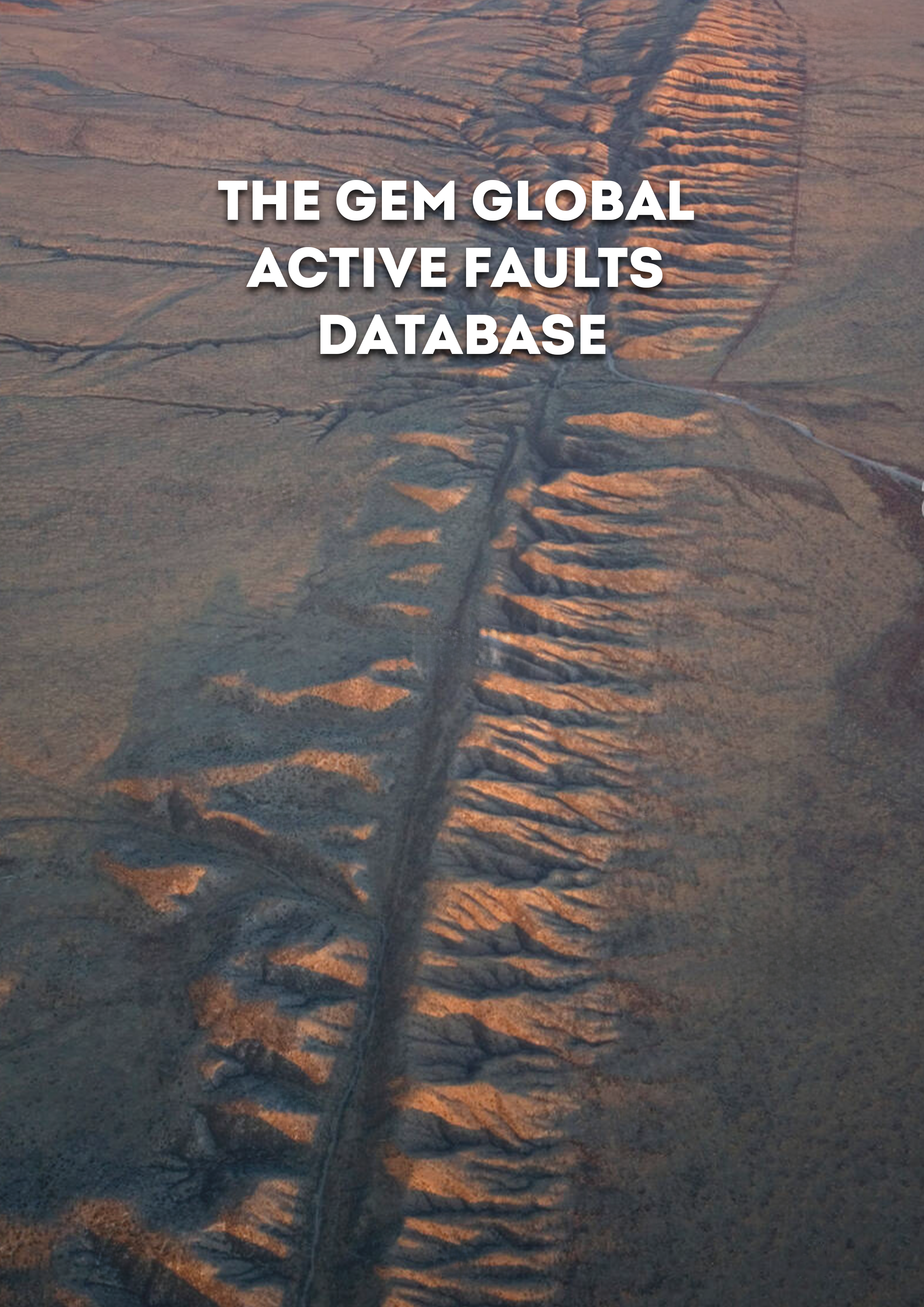
- The GEM Global Active Faults Database | GEM Foundation
Publications The GEM Global Active Faults Database Share Facebook LinkedIn Download 2020 | Peer-reviewed The GEM Global Active Faults Database (GAF-DB) is the first public, comprehensive database of active faults with worldwide coverage. The GAF-DB is a compilation of many regional datasets. The GAF-DB contains ∼13,500 faults, each with associated attributes that describe the geometry, kinematics, slip rate, references, and other characteristics, as the information is available. Spatial completeness is high, and about 77% of the faults have slip rate information. The GAF-DB is built from its constituent datasets algorithmically and is designed to fluidly incorporate changes to or addition of any of the underlying datasets. This process reflects a philosophy of easily incorporating a change to avoid obsolescence and to quickly provide the most up-to-date information possible to the users. The database is licensed under a free and open-source license (CC-BY-SA 4.0) and is available at https://github.com/GEMScienceTools/gem-global-active-faults.