Thanks for submitting!
You will be contacted as soon as possible


QUICK LINKS


PROFILES
PUBLICATIONS
EXPOSURE
VULNERABILTY
SOFTWARE
EQ MODELS
Search Results
Search this site
1170 results found with an empty search
- Dominican Republic Hazard | GEM Foundation
License Request Form You have chosen to get more information about: Dominican Republic Hazard Hazard Please check the link below to see if this product already meets your your requirements before submitting your request for a license. Thank you. DOWNLOAD THE OPEN VERSION Summary of steps to obtain a license for the requested product. Fill in the application form below. Click Submit. Please check your email Inbox or Spam folder for the summary of your request. You will then be contacted by the GEM Product Manager with either a request for more information, or a request to sign the license. If you do not hear from us within 2 weeks, please send an email to product@globalquakemodel.org . REQUEST DETAILS A. Requesting party information First Name Last Name Role/Job Email Business type Business type Other business Sector Sector Other sector B. License agreement signatory information The signatory must be someone who is authorised to sign license agreements on your behalf such as your immediate supervisor, manager or legal officer. If you’re a PhD student, the signatory must be your adviser or a university officer in charge of license agreements or similar legal documents. Full Name of Signatory Position Company Email of Signatory Organisation name Complete Address C. Purpose of request GEM is able to offer products for free because of the support of our project partners, national collaborators and institutional sponsors. All of GEM’s products are freely available for public good, non-commercial use, but with different license restrictions. In most cases we release products under an open license (e.g., CC BY-SA or CC BY-NC-SA), which permits (re)distribution. In this case, we are granting access under a more restricted license that forbids distribution or disclosure and requires signing by GEM and the licensee in order to better assure accountability for the confidentiality of the information. In order for GEM to properly assess your request, please answer the following questions below. 1. Explain briefly how will the GEM product be used e.g. project, research including the expected results and the foreseen public benefit. Minimum 60 words. 2. Will you be able to share the results of your work with GEM? YES NO 3. Will you be able to provide feedback to GEM on the quality and usefulness of this product via a survey? YES NO D. Privacy Policy By submitting this form, you consent to the processing of your personal data in accordance with our Privacy Policy and the EU General Data Protection Regulation (GDPR). We are committed to safeguarding your information and ensuring it is only used for the purpose outlined in this form. You have the right to access, rectify, or delete your data at any time. For more information, please refer to our Privacy Policy. I agree Words: 0 Email us at product@globalquakemodel.org if you're experiencing problems submitting your application. Thank you. Submit Thanks for submitting! You will be contacted as soon as possible Incomplete data. Please fill in all required fields. Thank you.
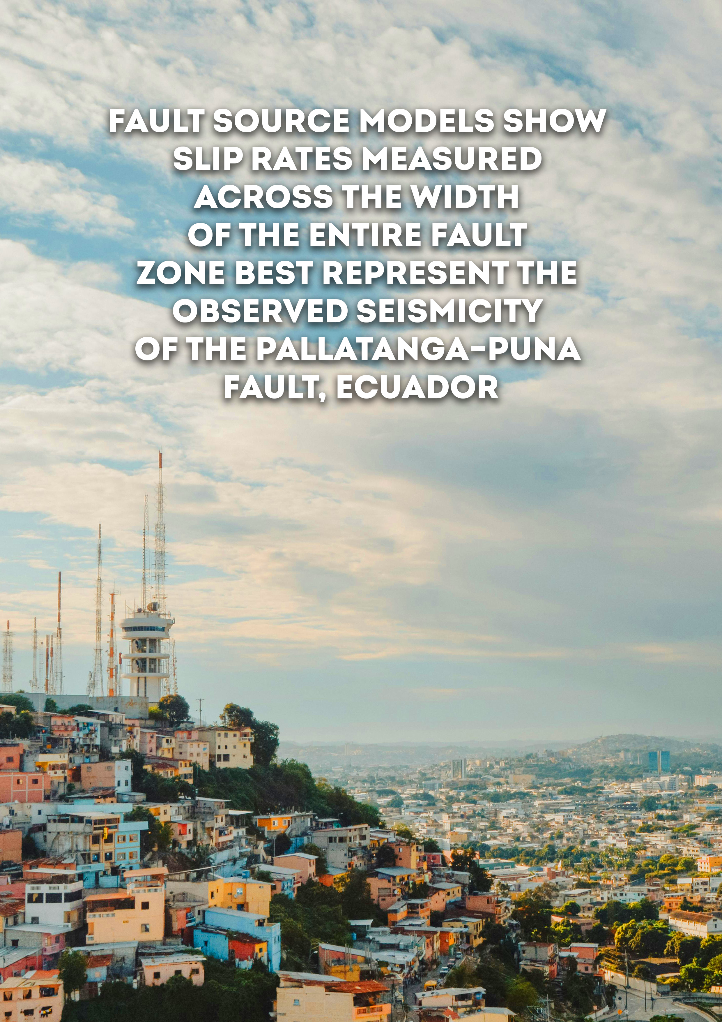
- Fault Source Models Show Slip Rates Measured across the Width of the Entire Fault Zone Best Represent the Observed Seismicity of the Pallatanga–Puna Fault, Ecuador | GEM Foundation
Publications Fault Source Models Show Slip Rates Measured across the Width of the Entire Fault Zone Best Represent the Observed Seismicity of the Pallatanga–Puna Fault, Ecuador Share Facebook LinkedIn Download 2024 | Peer-reviewed We explore how variation of slip rates in fault source models affect computed earthquake rates of the Pallatanga–Puna fault system in Ecuador. Determining which slip rates best represent fault‐zone seismicity is vital for use in probabilistic seismic hazard assessment (PSHA). However, given the variable spatial and temporal scales slip rates are measured over, significantly different rates can be observed along the same fault. The Pallatanga–Puna fault in southern Ecuador exemplifies a fault where different slip rates have been measured using methods spanning different spatial and temporal scales, and in which historical data and paleoseismic studies provide a record of large earthquakes over a relatively long time span. We use fault source models to calculate earthquake rates using different slip rates and geometries for the Pallatanga–Puna fault, and compare the computed magnitude–frequency distributions (MFDs) to earthquake catalog MFDs from the fault zone. We show that slip rates measured across the entire width of the fault zone, either based on geodesy or long‐term geomorphic offsets, produce computed MFDs that compare more favorably with the catalog data. Moreover, we show that the computed MFDs fit the earthquake catalog data best when they follow a hybrid‐characteristic MFD shape. These results support hypotheses that slip rates derived from a single fault strand of a fault system do not represent seismicity produced by the entire fault zone.
- China Financial Loss Model | GEM Foundation
License Request Form You have chosen to get more information about: China Financial Loss Model Financial Loss Please check the link below to see if this product already meets your your requirements before submitting your request for a license. Thank you. DOWNLOAD THE OPEN VERSION Summary of steps to obtain a license for the requested product. Fill in the application form below. Click Submit. Please check your email Inbox or Spam folder for the summary of your request. You will then be contacted by the GEM Product Manager with either a request for more information, or a request to sign the license. If you do not hear from us within 2 weeks, please send an email to product@globalquakemodel.org . REQUEST DETAILS A. Requesting party information First Name Last Name Role/Job Email Business type Business type Other business Sector Sector Other sector B. License agreement signatory information The signatory must be someone who is authorised to sign license agreements on your behalf such as your immediate supervisor, manager or legal officer. If you’re a PhD student, the signatory must be your adviser or a university officer in charge of license agreements or similar legal documents. Full Name of Signatory Position Company Email of Signatory Organisation name Complete Address C. Purpose of request GEM is able to offer products for free because of the support of our project partners, national collaborators and institutional sponsors. All of GEM’s products are freely available for public good, non-commercial use, but with different license restrictions. In most cases we release products under an open license (e.g., CC BY-SA or CC BY-NC-SA), which permits (re)distribution. In this case, we are granting access under a more restricted license that forbids distribution or disclosure and requires signing by GEM and the licensee in order to better assure accountability for the confidentiality of the information. In order for GEM to properly assess your request, please answer the following questions below. 1. Explain briefly how will the GEM product be used e.g. project, research including the expected results and the foreseen public benefit. Minimum 60 words. 2. Will you be able to share the results of your work with GEM? YES NO 3. Will you be able to provide feedback to GEM on the quality and usefulness of this product via a survey? YES NO D. Privacy Policy By submitting this form, you consent to the processing of your personal data in accordance with our Privacy Policy and the EU General Data Protection Regulation (GDPR). We are committed to safeguarding your information and ensuring it is only used for the purpose outlined in this form. You have the right to access, rectify, or delete your data at any time. For more information, please refer to our Privacy Policy. I agree Words: 0 Email us at product@globalquakemodel.org if you're experiencing problems submitting your application. Thank you. Submit Thanks for submitting! You will be contacted as soon as possible Incomplete data. Please fill in all required fields. Thank you.
- Alaska Hazard | Global EarthQuake Model Foundation
OpenQuake engine input model to perform hazard calculations for Alaska Products Alaska Hazard OpenQuake engine input model to perform hazard calculations for Alaska Share Facebook LinkedIn Description The 2007.0.0 seismic hazard model for Alaska (USA) was developed by the United States Geological Survey (Wesson et al., 2007). The model covers the state of Alaska including the Aleutian Islands. The model has been translated from its original format into the OpenQuake (OQ) engine by GEM. Since the original version, two updates were made to the model by the GEM hazard team, leading to the latest release (v2007.2.0), which was used in the computation of the 2026 Global Earthquake Hazard Maps. How to cite this work Wesson, Robert L., Boyd, Oliver S., Mueller, Charles S., Bufe, Charles G., Frankel, Arthur D., Petersen, Mark D., 2007, Revision of time-Independent probabilistic seismic hazard maps for Alaska: U.S. Geological Survey Open-File Report 2007-1043 Available Versions The latest version (v2007.2.0) is available for direct download under a CC BY-SA 4.0 license. Users interested in this version can click the "Open Version Download" button in the right panel to access the information. If your use case does not comply with the license terms, a license can be requested by clicking on the "License Request", where a specific agreement will be provided, depending on the use case. License information The latest version is available under a Creative Commons CC BY-SA 4.0 license, which requires: Attribution (you must give appropriate credit, provide a link to the license, and indicate if changes were made) ShareAlike (derivatives created must be made available under the same license as the original) Any deviation from these terms incur in license infringement and requires a license agreement that must be made tailored to your use case, in such instance please click on "License Request". Facebook LinkedIn Share Latest Version v2007.2.0 License CC BY-SA 4.0 Available resources Open Version Download Documentation License Request text Map View Search Popup title Close Country/Region Available Resources Afghanistan Exposure Africa Exposure Alaska Exposure Country/Region Available Resources Afghanistan Vulnerability Africa Vulnerability Alaska Vulnerability Country/Region Resource Url Afghanistan Risk Profile Africa Risk Profile Alaska Risk Profile Search Found Country/Region Resource Url Afghanistan Exposure Africa Exposure Alaska Exposure Preview Preview is not available. Search Found Country/Region Resource Url Afghanistan Vulnerability Africa Vulnerability Alaska Vulnerability Preview Preview is not available. Search Found Country/Region Resource Url Afghanistan Risk Profile Africa Risk Profile Alaska Risk Profile Preview Preview is not available. Related products Global Liquefaction Hazard Hawaii Hazard Global Seismic Risk Map Country-Territory Seismic Risk Profiles Global Seismic Embodied Carbon Risk Conterminous US Hazard Global Seismic Hazard Map Model Builder's Toolkit (oq-mbtk) Global Exposure Model Global Vulnerability Model Related publications For downloading or accessing detailed product information like PNG/PDF maps, datasets, license request, shapefiles and more, please switch to a desktop or laptop computer. Thank you for your understanding.
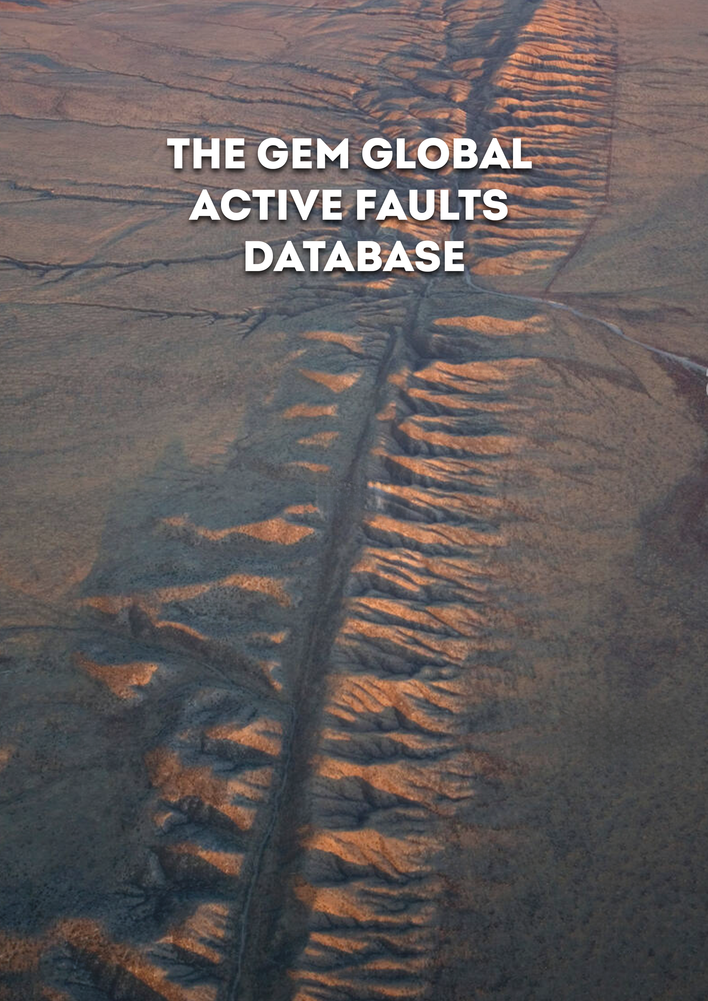
- The GEM Global Active Faults Database | GEM Foundation
Publications The GEM Global Active Faults Database Share Facebook LinkedIn Download 2020 | Peer-reviewed The GEM Global Active Faults Database (GAF-DB) is the first public, comprehensive database of active faults with worldwide coverage. The GAF-DB is a compilation of many regional datasets. The GAF-DB contains ∼13,500 faults, each with associated attributes that describe the geometry, kinematics, slip rate, references, and other characteristics, as the information is available. Spatial completeness is high, and about 77% of the faults have slip rate information. The GAF-DB is built from its constituent datasets algorithmically and is designed to fluidly incorporate changes to or addition of any of the underlying datasets. This process reflects a philosophy of easily incorporating a change to avoid obsolescence and to quickly provide the most up-to-date information possible to the users. The database is licensed under a free and open-source license (CC-BY-SA 4.0) and is available at https://github.com/GEMScienceTools/gem-global-active-faults.
- Arabia Hazard | Global EarthQuake Model Foundation
OpenQuake engine input model to perform hazard calculations for the Arabian Peninsula Products Arabia Hazard OpenQuake engine input model to perform hazard calculations for the Arabian Peninsula Share Facebook LinkedIn Description The 2018.0.0 seismic hazard model was developed by the Saudi Geological Survey (SGS) (Sokolov et al, 2017). The model covers Saudi Arabia, Yemen, Oman, and Qatar. Since the original version, three updates were made to the model by the GEM hazard team, leading to the latest release (v2018.3.0) which includes sources from the latest Middle East v2026.0.0 model. How to cite this work V. Sokolov et al., “Probabilistic seismic hazard assessment for Saudi Arabia using spatially smoothed seismicity and analysis of hazard uncertainty,” Bull Earthquake Eng, vol. 15, no. 7, pp. 2695–2735, Jul. 2017. H. M. Zahran et al., “Preliminary probabilistic seismic hazard assessment for the Kingdom of Saudi Arabia based on combined areal source model: Monte Carlo approach and sensitivity analyses,” Soil Dynamics and Earthquake Engineering, vol. 77, pp. 453–468, Oct. 2015. H. M. Zahran et al., “On the development of a seismic source zonation model for seismic hazard assessment in western Saudi Arabia,” J Seismol, vol. 20, no. 3, pp. 747–769, Jul. 2016. Available Versions The latest version (v2018.3.0) is available for direct download under a CC BY-NC-SA 4.0 license. Users interested in this version can click the "Open Version Download" button in the right panel to access the information. If your use case does not comply with the license terms, a license can be requested by clicking on the "License Request", where a specific agreement will be provided, depending on the use case License information The open version is available under a Creative Commons CC BY-NC-SA 4.0 license, which requires: Attribution (you must give appropriate credit, provide a link to the license, and indicate if changes were made) Non-commercial (you may not use the material for commercial purposes) ShareAlike (derivatives created must be made available under the same license as the original) Any deviation from these terms incur in license infringement. For commercial use of the model, a specific license agreement must be made tailored to your use case, in such instance please click on "License Request". Facebook LinkedIn Share Latest Version v2018.3.0 License CC BY-NC-SA 4.0 Available resources Open Version Download Documentation License Request text Map View Search Popup title Close Country/Region Available Resources Afghanistan Exposure Africa Exposure Alaska Exposure Country/Region Available Resources Afghanistan Vulnerability Africa Vulnerability Alaska Vulnerability Country/Region Resource Url Afghanistan Risk Profile Africa Risk Profile Alaska Risk Profile Search Found Country/Region Resource Url Afghanistan Exposure Africa Exposure Alaska Exposure Preview Preview is not available. Search Found Country/Region Resource Url Afghanistan Vulnerability Africa Vulnerability Alaska Vulnerability Preview Preview is not available. Search Found Country/Region Resource Url Afghanistan Risk Profile Africa Risk Profile Alaska Risk Profile Preview Preview is not available. Related products Global Liquefaction Hazard Global Exposure Model Global Vulnerability Model Global Seismic Embodied Carbon Risk Global Seismic Risk Map Country-Territory Seismic Risk Profiles Model Builder's Toolkit (oq-mbtk) Global Seismic Hazard Map Related publications For downloading or accessing detailed product information like PNG/PDF maps, datasets, license request, shapefiles and more, please switch to a desktop or laptop computer. Thank you for your understanding.
- Development of a uniform exposure model for the African continent for use in disaster risk assessment | GEM Foundation
Publications Development of a uniform exposure model for the African continent for use in disaster risk assessment Share Facebook LinkedIn Download 2022 | Peer-reviewed Several destructive natural hazards have occurred throughout Africa over the past century, yet few comprehensive exposure models exist for the continent. The high population growth and rapid pace of urbanization within many African countries entail a significant potential for increased economic and human losses, particularly where substantial urban growth encroaches upon hazard-prone regions with inadequate land management and building design regulations. This study introduces a new exposure model for all African countries using national and global datasets with a uniform approach across the continent, developed for a baseline year (2020) and six future years (2025, 2030, 2035, 2040, 2045, and 2050). The exposure model was originally derived with subnational statistics, and then further spatially disaggregated using Earth Observation (EO) data. This refined spatial resolution allows the model to reflect a realistic population distribution within each country and thereby better characterizes the potential risk to natural hazards and allows identification of disaster risk hotspots. The results indicate the current concentrations of building stock in Africa, in addition to regions where the urban building stock is expected to nearly triple (such as in Central and East Africa) or at least double (such as in West and South Africa).
- Proof Country Details | GEM Foundation
Menu philippines Explore earthquake risk and preparedness resources specific to the Philippines. Access GEM's seismic risk, exposure, and vulnerability profiles alongside national regulations and safety guidelines. Learn about local earthquake basics, emergency contacts, early warning systems, and key facts to stay informed and prepared. Philippines Country Resources Global Resources Share Facebook LinkedIn Copy link Country Overview Get an overview of earthquake risks, history, and preparedness efforts specific to this country. Earthquake Basics Learn the fundamental earthquake concepts and their impact in this country’s context. Safety and Preparedness Guides Access national guidelines on staying safe before, during, and after an earthquake. Early Warning System Facts and Figures Emergency Contact Information Learn how this country’s early warning system works and how to receive alerts. Explore national key statistics on earthquakes, infrastructure resilience, and population exposure. Find official emergency contacts for immediate response and disaster assistance. Country Overview Close Earthquake Basics Close Safety and Preparedness Guides Close Early Warning System Close Facts and Figures Close Emergency Contact Information Close In case of an earthquake, contact the Philippine Institute of Volcanology and Seismology (PHIVOLCS): (02) 8426-1468 to 79 GEM Country Seismic Data Seismic Risk Profile Get an overview of earthquake risks, history, and preparedness efforts specific to this country. Vulnerability Profile See how different structures respond to earthquakes based on local conditions. Exposure Profile Discover the distribution of buildings, infrastructure, and assets exposed to earthquakes. Seismic Hazard Learn about national hazard model developed in collaboration with the GEM Foundation. DATA & INFORMATION CONTRIBUTING PARTNER Philippine Institute of Volcanology and Seismology (PHIVOLCS) The Philippine Institute of Volcanology and Seismology (PHIVOLCS) is a national agency under the Department of Science and Technology (DOST). It monitors volcanic, earthquake, and tsunami activity, provides timely warnings, and delivers specialised information to help protect lives, support disaster risk reduction, and contribute to sustainable national development. Disclaimer: The designation “Data & Information Contributing Partner” recognises organisations that have voluntarily shared data, information, or technical inputs with the GEM Foundation. This partnership does not imply endorsement of GEM’s products or findings, nor does it constitute a formal institutional affiliation. Globe https://www.phivolcs.dost.gov.ph/ Phone (+632) 426-1468 to 79 EXPLORE MORE Learning Centre Country Resources
- Earthquake scenarios for building portfolios using artificial neural networks: Part I – Ground motion modelling | GEM Foundation
Publications Earthquake scenarios for building portfolios using artificial neural networks: Part I – Ground motion modelling Share Facebook LinkedIn Download 2022 | Peer-reviewed The calculation of the spatial distribution of ground motion is one of the most important steps in earthquake scenarios. The advancements in machine learning algorithms and the release of new ground motion data can enable improvements in the reliability and accuracy of this component. We developed an artificial neural network (ANN) ground motion model using a compiled database from two subsets with measured Vs30 from the Pan-European strong motion database and the NGA-West2 database. The ANN model employs five input parameters: moment magnitude (Mw), hypocentral depth, Joyner–Boore distance (Rjb), shear wave velocity in the top 30 m (Vs30), and faulting type. The outputs of the ANN are the RotD50 horizontal components of common intensity measures used in seismic risk assessment: PGA, PGD, PGV, Arias Intensity, and 5% damped spectral acceleration at 27 periods from 0.01 to 4.0 s. A mixed-effects modelling approach was followed to train the ANN and partition the ground motion variability into between-event and between-site terms. The input parameter scaling relationships were studied and demonstrated physically sound trends of the ground motion with respect to Mw scaling, distance attenuation, and site amplification. The predicted median response spectra for several combinations of Mw and Rjb were compared to common ground motion models for Europe, and the results are discussed. The developed ANN is used in a companion study to calculate the hazard footprints for several historical earthquakes in the Balkan region.
- Indonesia Hazard | Global EarthQuake Model Foundation
OpenQuake engine input model to perform hazard calculations for Indonesia Products Indonesia Hazard OpenQuake engine input model to perform hazard calculations for Indonesia Share Facebook LinkedIn Description The v2024 model was developed by the Team for Updating Seismic Hazard Maps of Indonesia. The team belongs to the National Center for Earthquake Studies under the Directorate Engineering Affairs for Buildings and Environmental Health, Directorate General of Human Settlements, Ministry of Public Works. Ministries involved: Ministry of Public Works; Ministry of Energy and Mineral Resources; Ministry of Transportation; The Ministry of Higher Education, Science, and Technology; and National Disaster Management Authority of Indonesia. Organizations involved: Bureau of Meteorology, Climatology and Geophysics; The National Research and Innovation Agency; Geospatial Information Agency; Centre of Volcanology and Geological Hazard Mitigation; Indonesian Academy of Sciences; Bandung Institute of Technology; University of Indonesia; University of Gajah Mada; University of Diponegoro; November 10 Institute of Technology Surabaya; National Institute of Science and Technology; Indonesian Society for Geotechnical Engineering; and Indonesian Disaster Expert Association, Indonesian Society of Civil and Structural Engineers. The team collaborated internationally with Geoscience Australia, Australia and U.S. Geological Survey. The previous model (v2017.1.0) was a slightly modified version of the model developed by the Team for Updating Seismic Hazard Maps of Indonesia of the National Center for Earthquake Studies, Indonesia (Irsyam et al., 2017). How to cite this work M. Irsyam, S. Widiyantoro, L. Faizal., D.H. Natawidjaja, I. Meilano, W. Triyoso, D. Djarwadi, A.D.Nugraha, M. Asrurifak, B. Suhendro, W.A. Prakoso, S. Pramono, P. Suprobo, P. Cummins, M. Petersen, M. Pagani Publication: https://ciptakarya.pu.go.id/admin/assets/upload/galeri/gempa/2026/02/10/887359_0.%20Final_BUKU_PETA_SUMBER_DAN_BAHAYA_GEMPA_2024_Publish.pdf Available Versions The open versions (v2024.0.0) is available for direct download under a CC BY-NC-SA 4.0 license. Users interested in this version can click the "Open Version Download" button in the right panel to access the information. If your use case does not comply with the license terms, a license can be requested by clicking on the "License Request", where a specific agreement will be provided, depending on the use case. Previous versions of this model are listed in the table at the bottom of this page. License information The open version is available under a Creative Commons CC BY-NC-SA 4.0 license, which requires: Attribution (you must give appropriate credit, provide a link to the license, and indicate if changes were made) Non-commercial (you may not use the material for commercial purposes) ShareAlike (derivatives created must be made available under the same license as the original) Any deviation from these terms incur in license infringement. For commercial use of the model, a specific license agreement must be made tailored to your use case, in such instance please click on "License Request". Facebook LinkedIn Share Latest Version v2024.0.0 License CC BY-NC-SA 4.0 Available resources Open Version Download Documentation License Request text Map View Search Popup title Close Country/Region Available Resources Afghanistan Exposure Africa Exposure Alaska Exposure Country/Region Available Resources Afghanistan Vulnerability Africa Vulnerability Alaska Vulnerability Country/Region Resource Url Afghanistan Risk Profile Africa Risk Profile Alaska Risk Profile Search Found Country/Region Resource Url Afghanistan Exposure Africa Exposure Alaska Exposure Preview Preview is not available. Search Found Country/Region Resource Url Afghanistan Vulnerability Africa Vulnerability Alaska Vulnerability Preview Preview is not available. Search Found Country/Region Resource Url Afghanistan Risk Profile Africa Risk Profile Alaska Risk Profile Preview Preview is not available. Previous Product Versions Product Version License Documentation Access Request / Open Repository v2017.1.0 CC BY-SA 4.0 Read https://cloud.openquake.org/s/zsoZY55oe2gSwFZ Related products Global Liquefaction Hazard Global Exposure Model Global Vulnerability Model Global Seismic Embodied Carbon Risk Global Seismic Risk Map Country-Territory Seismic Risk Profiles Model Builder's Toolkit (oq-mbtk) Global Seismic Hazard Map Related publications For downloading or accessing detailed product information like PNG/PDF maps, datasets, license request, shapefiles and more, please switch to a desktop or laptop computer. Thank you for your understanding.