Thanks for submitting!
You will be contacted as soon as possible


QUICK LINKS


PROFILES
PUBLICATIONS
EXPOSURE
VULNERABILTY
SOFTWARE
EQ MODELS
Search Results
Search this site
1170 results found with an empty search
- Dominican Republic Hazard | Global EarthQuake Model Foundation
OpenQuake engine input model to perform hazard calculations for the Dominican Republic Products Dominican Republic Hazard OpenQuake engine input model to perform hazard calculations for the Dominican Republic Share Facebook LinkedIn Description The Dominican Republic probabilistic seismic hazard model (v2021.2.0) was developed as part of the USAID-funded TREQ project. How to cite this work Johnson. K., Pagani M., Chartier, T. (2021) Probabilistic seismic hazard model for the Dominican Republic D.2.2.2, v2.0.0, October 2021. Available Versions An open version (v2021.2.0) is available for direct download under a CC BY-SA 4.0 license. Users interested in this version can click the "Open Version Download" button in the right panel to access the information. If your use case does not comply with the license terms, a license can be requested by clicking on the "License Request", where a specific agreement will be provided, depending on the use case. License information The open version is available under a Creative Commons CC BY-NC-SA 4.0 license, which requires: Attribution (you must give appropriate credit, provide a link to the license, and indicate if changes were made) Non-commercial (you may not use the material for commercial purposes) ShareAlike (derivatives created must be made available under the same license as the original) Any deviation from these terms incur in license infringement. For commercial use of the model, a specific license agreement must be made tailored to your use case, in such instance please click on "License Request". Facebook LinkedIn Share Latest Version v2021.2.0 License CC BY-SA 4.0 Available resources Open Version Download Documentation License Request Documentation (Español) text Map View Search Popup title Close Country/Region Available Resources Afghanistan Exposure Africa Exposure Alaska Exposure Country/Region Available Resources Afghanistan Vulnerability Africa Vulnerability Alaska Vulnerability Country/Region Resource Url Afghanistan Risk Profile Africa Risk Profile Alaska Risk Profile Search Found Country/Region Resource Url Afghanistan Exposure Africa Exposure Alaska Exposure Preview Preview is not available. Search Found Country/Region Resource Url Afghanistan Vulnerability Africa Vulnerability Alaska Vulnerability Preview Preview is not available. Search Found Country/Region Resource Url Afghanistan Risk Profile Africa Risk Profile Alaska Risk Profile Preview Preview is not available. Related products Global Liquefaction Hazard Global Exposure Model Global Vulnerability Model Global Seismic Embodied Carbon Risk Global Seismic Risk Map Country-Territory Seismic Risk Profiles Model Builder's Toolkit (oq-mbtk) Global Seismic Hazard Map Related publications Probabilistic seismic hazard analysis for the Dominican Republic Read More Modelo Probabilístico de Amenaza Sísmica para la República Dominicana Read More Probabilistic seismic hazard model for the Dominican Republic Read More For downloading or accessing detailed product information like PNG/PDF maps, datasets, license request, shapefiles and more, please switch to a desktop or laptop computer. Thank you for your understanding.
- Guidelines for Empirical Vulnerability Assessment | GEM Foundation
Publications Guidelines for Empirical Vulnerability Assessment Share Facebook LinkedIn Download 2014 | Report These Guidelines provide state-of-the-art guidance on the construction of vulnerability relationships from post-earthquake survey data. The Guidelines build on and extend procedures for empirical fragility and vulnerability curve construction found in the literature, and present a flexible framework for the construction of these relationships that allows for a number of curve-fitting methods and ground motion intensity measure types (IMTs) to be adopted. The philosophy behind the design of the framework is that the characteristics of the data should determine the most appropriate statistical model and intensity measure type used to represent them. Hence, several combinations of these must be trialled in the determination of an optimum fragility or vulnerability curve, where the optimum curve is defined by the statistical model that provides the best fit to the data as determined by a number of goodness-of-fit tests. The Guidelines are essentially a roadmap for the process, providing recommendations and help in deciding which statistical model to attempt, and promote trialling of models and IMTs.
- The Development Impact of Risk Analytics | GEM Foundation
Publications The Development Impact of Risk Analytics Share Facebook LinkedIn Download 2020 | Report This paper proposes a hypothesis – a theory of change-illustrated with evidence from country projects and literature. It is not an empirical study built on formal monitoring, evaluation and learning processes, but it is a thesis reinforced wherever possible with evidence of where things have gone right, sometimes wrong, and mostly where there are barriers to the flow of risk understanding that must be removed for the benefit of communities.
- Global Earthquake Model: Community-Based Seismic Risk Assessment | GEM Foundation
Publications Global Earthquake Model: Community-Based Seismic Risk Assessment Share Facebook LinkedIn Download 2011 | Book chapter The Global Earthquake Model (GEM) initiative aims to develop a global model of earthquake risk as an open source, community-driven project. In order to begin this in a structured way, a number of Global Components that cover the scientific modules of the model have been defined, and Requests for Proposals have been released, requesting international consortia to bid to lead these projects. Within the risk domain, 5 Global Components have been identified, with the following objectives: GEM Ontology and Taxonomy: to define the framework for calculating seismic risk and classify the components therein. Global Earthquake Consequences Database: to collect post-earthquake data such as loss of life, injuries, damage and economic loss into a common web-based repository. Global Exposure Database: to construct a global building and population inventory. Global Vulnerability Estimation Methods: to define levels of damage and loss as a function of ground motion intensity, for a global taxonomy of buildings. Inventory Data Capture Tools: to support the population of the exposure and consequences databases through innovative open-source tools. The consortia leading these global components will be required to define standards and best practice related to the methodologies used in seismic risk assessment and in particular the collection and storage of data needed therein. This chapter introduces these risk global components and describes the open source software and development platform that is being developed to provide access to and community interaction with the proposed data and tools.
- Indian Ocean Hazard | Global EarthQuake Model Foundation
OpenQuake engine input model to perform hazard calculations for the Indian Ocean Products Indian Ocean Hazard OpenQuake engine input model to perform hazard calculations for the Indian Ocean Share Facebook LinkedIn Description The v2024 Indian Ocean hazard model has been developed by GEM within the USAID funded FORCE project. How to cite this work K. Bayliss, C. Brooks, M. Villani, K. Johnson, R. Styron, M. Pagani (2026). PSHA input model documentation for Indian Ocean (OIN-2024-1.0). GEM Foundation. Available Versions The latest version (v2024.1.0) is available for direct download under a CC BY-NC-SA 4.0 license. Users interested in this version can click the "Open Version Download" button in the right panel to access the information. If your use case does not comply with the license terms, a license can be requested by clicking on the "License Request", where a specific agreement will be provided, depending on the use case. License information The open version is available under a Creative Commons CC BY-NC-SA 4.0 license, which requires: Attribution (you must give appropriate credit, provide a link to the license, and indicate if changes were made) Non-commercial (you may not use the material for commercial purposes) ShareAlike (derivatives created must be made available under the same license as the original) Any deviation from these terms incur in license infringement. For commercial use of the model, a specific license agreement must be made tailored to your use case, in such instance please click on "License Request". Facebook LinkedIn Share Latest Version v2024.1.0 License CC BY-NC-SA 4.0 Available resources Open Version Download Documentation License Request text Map View Search Popup title Close Country/Region Available Resources Afghanistan Exposure Africa Exposure Alaska Exposure Country/Region Available Resources Afghanistan Vulnerability Africa Vulnerability Alaska Vulnerability Country/Region Resource Url Afghanistan Risk Profile Africa Risk Profile Alaska Risk Profile Search Found Country/Region Resource Url Afghanistan Exposure Africa Exposure Alaska Exposure Preview Preview is not available. Search Found Country/Region Resource Url Afghanistan Vulnerability Africa Vulnerability Alaska Vulnerability Preview Preview is not available. Search Found Country/Region Resource Url Afghanistan Risk Profile Africa Risk Profile Alaska Risk Profile Preview Preview is not available. Related products Atlantic Ocean Hazard Model Builder's Toolkit (oq-mbtk) Global Seismic Risk Map Country-Territory Seismic Risk Profiles Global Liquefaction Hazard Pacific Ocean Hazard Global Seismic Hazard Map Global Seismic Embodied Carbon Risk Global Exposure Model Global Vulnerability Model Related publications For downloading or accessing detailed product information like PNG/PDF maps, datasets, license request, shapefiles and more, please switch to a desktop or laptop computer. Thank you for your understanding.
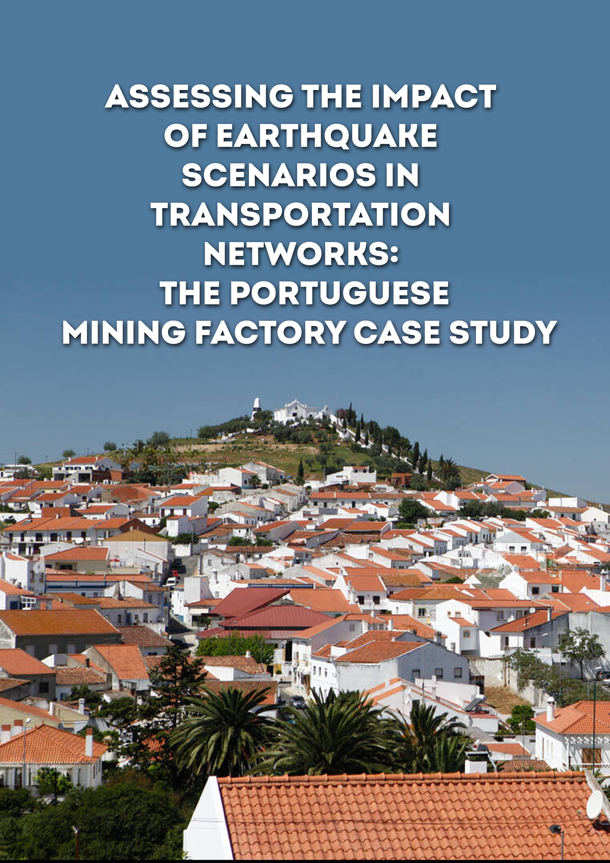
- Assessing the impact of earthquake scenarios in transportation networks: the Portuguese mining factory case study | GEM Foundation
Publications Assessing the impact of earthquake scenarios in transportation networks: the Portuguese mining factory case study Share Facebook LinkedIn Download 2017 | Peer-reviewed This study presents an open-source framework for the evaluation of the consequences of seismic events on transportation systems, and their impact on the surrounding industry. When applied to the specific case of a given company or organization, the framework allows the estimation of expected losses due to the disruption of specific transportation routes. The methodology was applied to a case study of a Portuguese mining factory whose production and exportation rely on the accessibility to strategic regions in the country using the highway and railway networks. Several methodological issues (e.g., spatial correlation in the ground motion, correlation in the damage) are explored within a sensitivity analysis to identify which features can impact seismic performance indicators (collapse and disruption probabilities; repair and disruption time) of specific routes.
- Global Earthquake Risk and Covid Map
Global Earthquake Maps Global Earthquake Risk and Covid Map VIEWER PDF PNG CONTRIBUTORS DOCUMENTATION References TECHNICAL DESCRIPTION EXPERIMENTAL map for demonstration purposes only This map presents COVID-19 statistics released by Johns Hopkins University Coronavirus Resource Center over the GEM Global Risk Layer depicting earthquake risk from the GEM Global Earthquake Model (2018). The COVID-19 data shows cumulative number of new cases reported. Click on dots on the map to display a graph of COVID-19 cases as a function of time. The earthquake risk map depicts average annual loss (AAL) over cells of about 100 km squared, expressed in terms of potential damage to buildings in terms of square meters of building floor area. The combined map indicates areas where a damaging earthquake could cause increases in COVID-19 cases due to displacement of people from damaged buildings or where health care systems may be further stressed due to human injuries. GEM’s global model and underlying data and models for social and physical vulnerability can be used to estimate the additional risk in the event of an earthquake and to identify those places at greatest combined COVID-Earthquake risk. Sources https://github.com/CSSEGISandData/COVID-19 https://www.globalquakemodel.org/gem Publication date May 21, 2020 Edition Experimental License Creative Commons BY-NC-SA 4.0 (CC BY-NC-SA 4.0) MAJOR SPONSORS Verisk ARUP GEOSCIENCE AUSTRALIA CSSC NRCan EAFIT ETH ZURICH EUCENTRE FM GLOBAL GFZ GIROJ GNS SCIENCE HANNOVER RE MUNICH RE NTU ICRM NEPHILA NERC NIED NSET OYO PARTNER RE DPC SGC SWISS SER SWISS RE FOUNDATION SURAMERICANA TEM RCN USGS USAID WTW ZURICH INSURANCE
- Seismic hazard analysis at the urban scale | GEM Foundation
Publications Seismic hazard analysis at the urban scale Share Facebook LinkedIn Download 2021 | Report We perform seismic hazard analysis for three urban centers (Cali, Colombia; Quito, Ecuador; and Santiago, Dominican Republic) within the TREQ project, explicitly accounting for the local soil response in each city. The two requirements for this analysis are (1) hazard estimates on reference bedrock at each city, for which we use the models described in D2.2.2 and D2.2.3 and (2) soil response models that quantify the amplification (or deamplification) of ground shaking throughout the three urban centers due to the shallow soil layers. In this study, in collaboration with local experts, we develop the soil response models for each city using available local geotechnical and geophysical data. We simulate the soil response using 1D equivalent linear analysis using pySRA, and a large suite of input motions generated from (and therefore fully compatible with) the underlying hazard model, which accounts for uncertainty in the input motions. The computed soil response models consist of a set of soil amplification factors (AF) and their uncertainty (�lnAF), covering the respective urban centers. The AFs are defined for periods relevant for risk analysis (PGA – 2.0 s), as well as for a wide range of bedrock shaking intensity levels (0.05 – ~4 g), and can therefore be readily used for probabilistic hazard and risk analysis. Finally, hazard curves are computed at the surface by convolving the bedrock hazard with the AFs and �lnAF at a set of sites. The results are compared to those computed using the ergodic site terms within the GMPEs, which depend on the shear wave velocity in the upper 30 m (Vs30), for which we find significant differences at some sites. Specifically, using the local soil response models can either increase (up to a factor ~2) or decrease the hazard results compared to when an inferred Vs30 is used. For soft sites at longer return periods, the hazard can be lower (and sometimes lower than the hazard on rock) due to soil nonlinearity. These differences can have a significant impact on the risk results, which are described in Deliverable D2.3.5. This study demonstrates the importance of incorporating local soil response when the goal is to model hazard at the urban scale with a higher level of detail compared to more standard approaches using Vs30.
- Data Interchange Formats for the Global Earthquake Model (GEM) | GEM Foundation
Publications Data Interchange Formats for the Global Earthquake Model (GEM) Share Facebook LinkedIn Download 2010 | Report Sixteen draft data interchange formats and 7 terminology standards (collectively referred to here as DIFs) are proposed here for use in GEM1. This initial draft includes several DIFs for hazard output (to be used as input to risk analyses), exposure (i.e., values exposed to seismic risk), vulnerability, and fragility. Samples are provided of each DIF, and in each case, each parameter is explained, assigned a variable type (e.g., integer, text string, double-precision floating point, etc.) and any constraints are specified (e.g., probabilities between 0 and 1). The proposed data standards in this draft draw primarily on OpenSHA, OpenRisk, PAGER, and to a limited extent HAZUS-MH, EMS-98, and the World Housing Encyclopedia. The DIFs presented in this draft are entirely human-readable, plain-text flat files (commas-and-quotes); no attempt has been made yet to define XML formats. The emphasis in these DIFs is on simplicity and universality over storage efficiency. It is not intended that these DIFs represent a complete or exhaustive set of what GEM1 will require. Later drafts may add XML format and DIFs for other I/O needs. GEM1 participants are encouraged to contact the authors to recommend additions, modifications, and clarification.
- Global Seismic Risk Map | GEM Foundation
License Request Form You have chosen to get more information about: Global Seismic Risk Map Risk Please check the link below to see if this product already meets your your requirements before submitting your request for a license. Thank you. DOWNLOAD THE OPEN VERSION Summary of steps to obtain a license for the requested product. Fill in the application form below. Click Submit. Please check your email Inbox or Spam folder for the summary of your request. You will then be contacted by the GEM Product Manager with either a request for more information, or a request to sign the license. If you do not hear from us within 2 weeks, please send an email to product@globalquakemodel.org . REQUEST DETAILS A. Requesting party information First Name Last Name Role/Job Email Business type Business type Other business Sector Sector Other sector B. License agreement signatory information The signatory must be someone who is authorised to sign license agreements on your behalf such as your immediate supervisor, manager or legal officer. If you’re a PhD student, the signatory must be your adviser or a university officer in charge of license agreements or similar legal documents. Full Name of Signatory Position Company Email of Signatory Organisation name Complete Address C. Purpose of request GEM is able to offer products for free because of the support of our project partners, national collaborators and institutional sponsors. All of GEM’s products are freely available for public good, non-commercial use, but with different license restrictions. In most cases we release products under an open license (e.g., CC BY-SA or CC BY-NC-SA), which permits (re)distribution. In this case, we are granting access under a more restricted license that forbids distribution or disclosure and requires signing by GEM and the licensee in order to better assure accountability for the confidentiality of the information. In order for GEM to properly assess your request, please answer the following questions below. 1. Explain briefly how will the GEM product be used e.g. project, research including the expected results and the foreseen public benefit. Minimum 60 words. 2. Will you be able to share the results of your work with GEM? YES NO 3. Will you be able to provide feedback to GEM on the quality and usefulness of this product via a survey? YES NO D. Privacy Policy By submitting this form, you consent to the processing of your personal data in accordance with our Privacy Policy and the EU General Data Protection Regulation (GDPR). We are committed to safeguarding your information and ensuring it is only used for the purpose outlined in this form. You have the right to access, rectify, or delete your data at any time. For more information, please refer to our Privacy Policy. I agree Words: 0 Email us at product@globalquakemodel.org if you're experiencing problems submitting your application. Thank you. Submit Thanks for submitting! You will be contacted as soon as possible Incomplete data. Please fill in all required fields. Thank you.