top of page
Thanks for submitting!
You will be contacted as soon as possible


Featured Publications

Development of a global seismic risk model

GEM Strategic Plan and Roadmap to 2030

Improving Post-Disaster Damage Data Collection to Inform Decision-Making Final Report
Anchor 1
Publications List

0
Sort by Title:

Download
ISC-GEM Global instrumental earthquake catalogue (1900-2009)
Type:
Report
Year:
2012
Here we describe the work of collecting, reviewing, digitizing and interpreting data from a multitude of historical sources: paper-based global earthquake catalogues as well as the individual observatory and network bulletins containing parameters of large earthquakes of the past. The preliminary earthquake selection was done using available magnitude estimates from different sources.

Download
User guide Android mobile tool for field data collection
Type:
User manual
Year:
2014
TheGlobalEarthquakeModel(GEM)aimstoprovideasetoftoolsandmodelsforhazardandriskanalysis. ThefundamentalaimoftheGEMInventoryDataCaptureTools(IDCT)riskglobalcomponentistoprovidea set of software and accompanying user protocols toenable users to collect andmodify buildingexposure information,whichcanbeinputintotheGlobalExposureDatabaseandtheGlobalEarthquakeConsequences Database. ThisreportformstheuserguideforIDCTAndroidInventoryDataMobileTool, whichisavailablefromGoogle Play.Itdetailstheusageofthemobiletoolforsettingupdatacapture,utilisingthemapinterface,marking surveypoints,captureofbuildingattributes,exportofsurveydataandimportofofflinemapdata.

Download
User guide Field sampling strategies for estimating building inventories
Type:
User manual
Year:
2014
This report offersprocedures toestimate theareadistributionofbuilding typesinacommunity througha combinationofremotesensing,localexpertise,andfieldobservations.Theresultinginventorycanbeused forprobabilisticseismicriskanalysis.Thecommunityisfirstdividedintogeographicregions(referredtohere aszones)of relativelyhomogeneoususe.Theseproceduresshowhow toestimate theareadistributionof building types for one zone. One estimates the total building area in each zone by remote-sensing proceduresthatarenotdiscussedhere,andthenmultipliesbythedistributionestimatedusingthepresent procedures.Theresultisanestimateofthebuildingareaofeachbuildingtypeineachzone.Onerepeatsthe process foreachzoneinthecommunitytocreateanestimateofthebuildingareaofeachbuildingtypein thecommunity.Foursamplingstrategiesareofferedforsamplingazonedependingonwhether(a)thezone has homogeneous building heights, (b) all important building features are visible, (c) expert advice is availableonrecognizinghiddenfeatures,and(d)apriorestimatefromexpertsonbuilding-typedistribution isavailable.

Download
User guide Geospatial tools for building footprint and homogenous zone extraction from imagery
Type:
User manual
Year:
2014
Thisreportdescribes the tools required toextractbuildinginformation from remotely-sensed satelliteand aerialimagery.Itprovidesastep-by-stepuserguideforasetofopen-sourcesoftwaretoolsforgenerating data for the Global Exposure Database. IDCT has proposed an expansive suite of tools for inventory and damage data collection. The opens source image processing and GIS software, Quantum GIS (QGIS) and GRASS provide the core functionality for pre-processing imagery. Algorithms for automatically extracting building footprints are provided as a plug-in toolbar to QGIS. These have evolved from the Building RECognitiontool (BREC),developedbytheUniversityofPavia,andhavebeencustomisedforuseintheIDCT suite. Protocols formodifying GIS information are also provided. For regional exposure development, and generating information for use in mapping schemes, areas of homogenous land use can be manually extracted.ThiscanalsobeachievedinQGIS,howevertheuseofGoogleEarthforgeneratingthesedataare alsodescribed.

Download
User guide Windows tool for field data collection and management
Type:
User manual
Year:
2014
TheaimofthisreportistoprovideguidelinesfortheuseofthedigitalWindowsMobileToolsthathavebeen designedandbuilt tocollectbuildinginventorypre- andpost-earthquakeevents.Theguideinstructsusers how toinstall the software onaWindows deviceand provides step-by-stepinstructions for collectingand managingthedatathathasbeencollected. Itisexpectedthatthefieldstaffarealreadyexpertsincollectingbuildinginventory,thereforethisguidedoes notprovidesinstructionshowtorecogniseorunderstandbuildingstructuralcomponents.
Download
A transparent and data-driven global tectonic regionalisation model for seismic hazard assessment
Type:
Peer-reviewed
Year:
2018
A key concept that is common to many assumptions inherent within seismic hazard assessment is that of tectonic similarity. This recognizes that certain regions of the globe may display similar geophysical characteristics, such as in the attenuation of seismic waves, the magnitude scaling properties of seismogenic sources or the seismic coupling of the lithosphere. Previous attempts at tectonic regionalization, particularly within a seismic hazard assessment context, have often been based on expert judgements; in most of these cases, the process for delineating tectonic regions is neither reproducible nor consistent from location to location. In this work, the regionalization process is implemented in a scheme that is reproducible, comprehensible from a geophysical rationale, and revisable when new relevant data are published. A spatial classification-scheme is developed based on fuzzy logic, enabling the quantification of concepts that are approximate rather than precise. Using the proposed methodology, we obtain a transparent and data-driven global tectonic regionalization model for seismic hazard applications as well as the subjective probabilities (e.g. degree of being active/degree of being cratonic) that indicate the degree to which a site belongs in a tectonic category.
Download
A summary of hazard datasets and guidelines supported by the Global Earthquake Model during the first implementation phase
Type:
Peer-reviewed
Year:
2015
The Global Earthquake Model (GEM) initiative promotes open, transparent and collaborative science aimed at the assessment of earthquake risk and its reduction worldwide. During the first implementation phase (2009-2014) GEM sponsored five projects aimed at the creation of global datasets and guidelines toward the creation of open, transparent and, as far as possible, homogeneous hazard input models. These projects concentrated on the following global databases and models: an instrumental catalogue, a historical earthquake archive and catalogue, a geodetic strain rate model, a database of active faults, and set of ground motion prediction equations. This paper describes the main outcomes of these projects illustrating some initial applications as well as challenges in the creation of hazard models.

Download
Appraising the PSHA earthquake source models of Japan, New Zealand, and Taiwan
Type:
Peer-reviewed
Year:
2016
Earthquake‐hazard models are one of the major contributions provided by the seismological community to tangibly support disaster risk reduction policies at a national level. Although the societal impact of hazard analyses can be huge, the development of models remains a scientific activity developed within frameworks that have a strong national emphasis and partial international recognition. However, broad acceptability of hazard models is a key aspect for achieving authoritativeness and a prerequisite for warranting that their construction is completed using well‐recognized methodologies. As part of an enduring international collaboration between leading organizations operating in the hazard and risk fields in Japan, New Zealand, Taiwan, and the Global Earthquake Model initiative, we discuss the main characteristic of the earthquake source models—as implemented for the OpenQuake engine—used for the calculation of the most recent national seismic‐hazard maps of these three countries. Particular emphasis is placed on comparing the various modeling options adopted in the different tectonic regions, on emphasizing commonalities, and on discussing the most controversial modeling solutions. Despite the many connections from a seismotectonic point of view between the three countries, the comparison highlights different modeling choices for the various tectonic regions, which constitute a spectrum of possible epistemic uncertainties, as well as modeling issues that could be collectively explored in future phases of this international collaboration.

Download
Assessing global earthquake risks: the Global Earthquake Model (GEM) initiative
Type:
Book chapter
Year:
2014
The Global Earthquake Model (GEM) initiative aims to develop a global model of earthquake risk as an open source, community-driven project. In order to begin this in a structured way, a number of global components that cover the scientific modules of the model have been defined, and requests for proposals have been released, inviting international consortia to bid and lead these projects. The consortia leading these global components define standards and best practice related to the methodologies used in seismic hazard and risk assessment and in particular the collection and storage of data needed therein. This chapter introduces these global components and describes an open source software and risk assessment platform, OpenQuake, that is being developed to provide access to and community interaction with the proposed data and tools.
Download
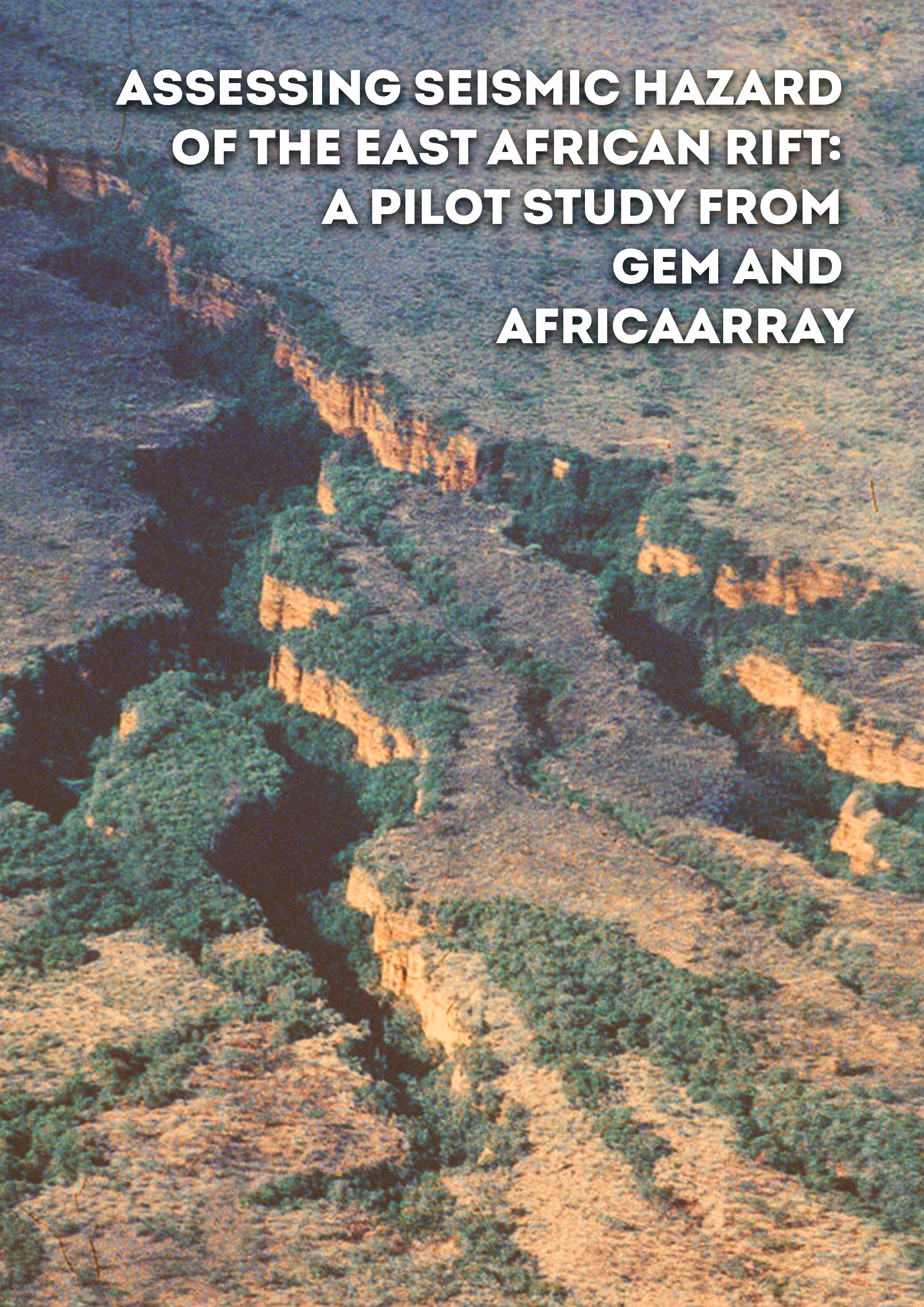
Assessing seismic hazard of the East African Rift: a pilot study from GEM and AfricaArray
Type:
Peer-reviewed
Year:
2017
The East African Rift System is the major active tectonic feature of the Sub-Saharan Africa region. Although the seismicity level of this divergent plate boundary can be described as moderate, several damaging earthquakes have been reported in historical times, and the seismic risk is exacerbated by the high vulnerability of the local buildings and structures. Formulation and enforcement of national seismic codes is therefore an essential future risk mitigation strategy. Nonetheless, a reliable risk assessment cannot be done without the calibration of an updated seismic hazard model for the region. A major limitation affecting the assessment of seismic hazard in Sub-Saharan Africa is the lack of basic information needed to construct source and ground motion models. The historical earthquake record is sparse, with significant variation in completeness over time across different regions. The instrumental catalogue is complete down to sufficient magnitude only for a relatively short time span. In addition, mapping of seismogenically active faults is still an on-going task, and few faults in the region are sufficiently constrained as to allow them to be directly represented within the seismic hazard model. Recent studies have identified major seismogenic lineaments, but there is substantial lack of kinematic information for intermediate-to-small scale tectonic features, information that is essential for the proper calibration of earthquake recurrence models. In this study, we use new data and Global Earthquake Model (GEM) computational tools such as the Hazard Modeller’s Toolkit and the OpenQuake engine to perform a pilot study of the seismic hazard associated with the East African Rift. The hazard model obtained has been created using the most recent information available from scientific literature, global bulletins and local earthquake catalogues, including those from AfricaArray projects. In this report, in accordance with the GEM philosophy, we describe in detail all working assumptions, main processing steps, data analyses and interpretations used for the model setup.
bottom of page