Thanks for submitting!
You will be contacted as soon as possible


Description
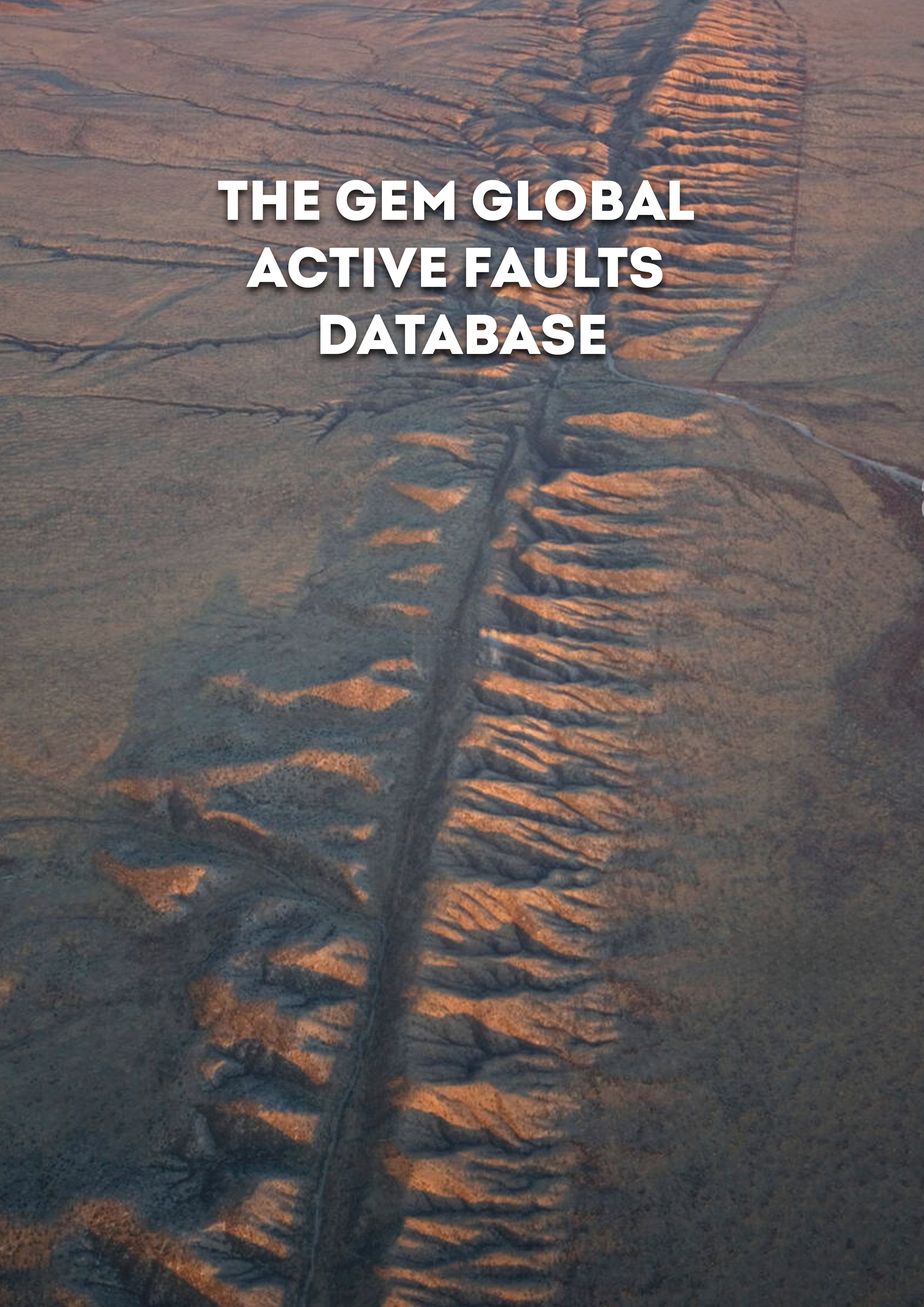
The GEM Foundation's Global Active Faults is building a comprehensive, global dataset of active fault traces of seismogenic concern. This repository comprises GIS files of fault traces and small amount of relevant attributes or metadata (fault geometry, kinematics, slip rate, etc.) useful for seismic hazard modeling and other tectonic applications. The dataset is being assembled primarily as a part of GEM's global Probabilistic Seismic Hazard Modeling efforts, although we hope that the data find wide use in research, education and general interest among many users. The dataset currently covers most of the deforming continental regions on earth with the exceptions of the Malay Archipelago, Madagascar, Canada, and a few other regions.
How to cite this work
Styron, Richard, and Marco Pagani. “The GEM Global Active Faults Database.” Earthquake Spectra, vol. 36, no. 1_suppl, Oct. 2020, pp. 160–180, doi:10.1177/8755293020944182
Available Versions
The database is hosted as a repository that is continuously updated from members of the global community. The data is available under a CC BY-SA 4.0 license. To access the information or collaborate to the database, click on the "Open Repository" button on the right panel. If your use case does not comply with the license terms, a license can be requested by clicking on the "License Request", where a specific agreement will be provided, depending on the use case. The GIS traces of the faults in the database can be viewed in an interactive map, by clicking on the "Geoviewer" button in the right panel. A global block model has also been developed: https://www.globalquakemodel.org/product/global-block-model.
License information
The open version is available under a Creative Commons CC BY-SA 4.0 license, which requires:
Attribution (you must give appropriate credit, provide a link to the license, and indicate if changes were made)
ShareAlike (derivatives created must be made available under the same license as the original)
Any deviation from these terms incur in license infringement and requires a license agreement that must be made tailored to your use case, in such instance please click on "License Request".
text


Popup title
Country/Region | Available Resources |
|---|---|
Afghanistan | Vulnerability |
Africa | Vulnerability |
Alaska | Vulnerability |
Country/Region | Resource Url |
|---|---|
Afghanistan | Risk Profile |
Africa | Risk Profile |
Alaska | Risk Profile |
Search

Found
Country/Region | Resource Url |
|---|---|
Afghanistan | Vulnerability |
Africa | Vulnerability |
Alaska | Vulnerability |
Preview

Preview is not available.
Search
Found
Country/Region | Resource Url |
|---|---|
Afghanistan | Risk Profile |
Africa | Risk Profile |
Alaska | Risk Profile |
Preview
Preview is not available.
Related products

Global Liquefaction Hazard

Global Seismic Risk Map

Country-Territory Seismic Risk Profiles

Global Seismic Embodied Carbon Risk

Global Seismic Hazard Map

Global Exposure Model

Global Vulnerability Model
Related publications
The GEM Global Active Faults Database