Thanks for submitting!
You will be contacted as soon as possible


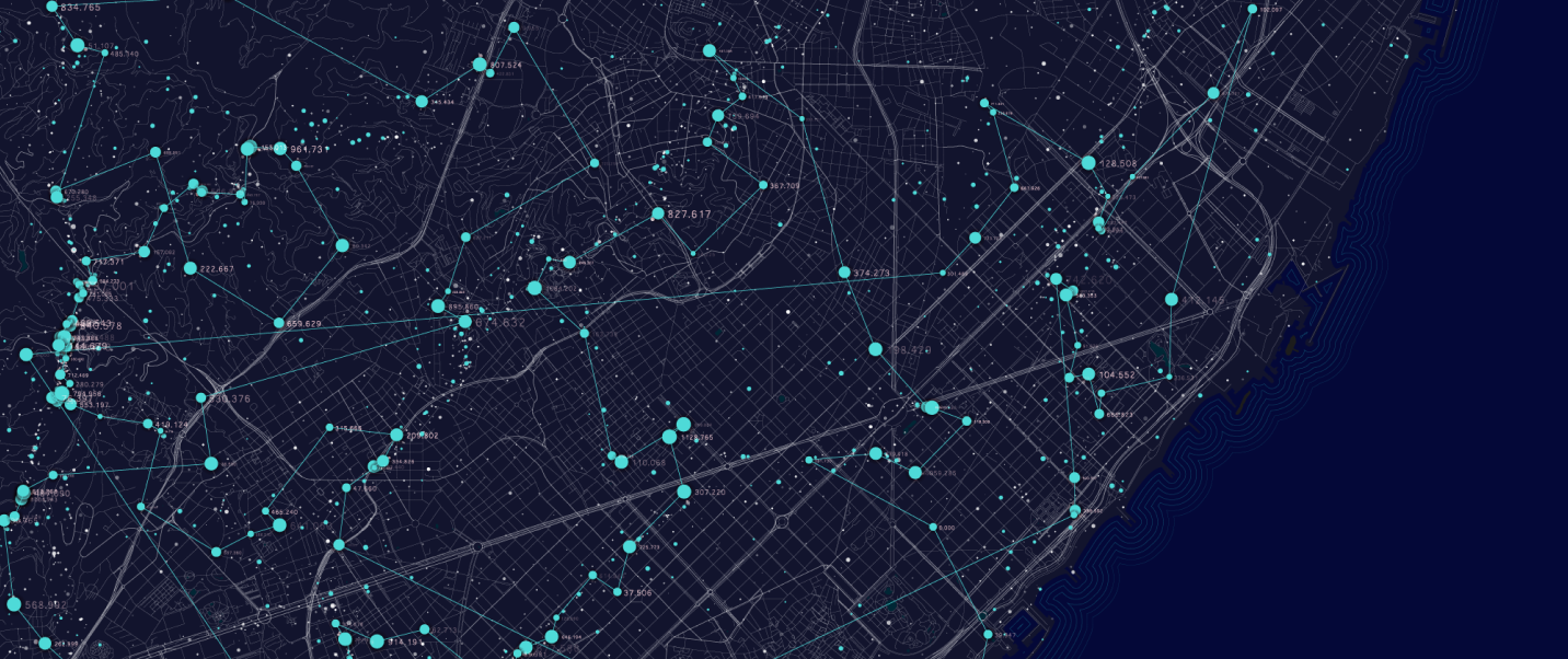
Image Credit: Overture Maps Foundation
When an earthquake strikes, the question is never only where the ground shook or how large the magnitude was. The deeper question is: who and what was in harm’s way?
For the Global Earthquake Model (GEM) Foundation, that question begins with the built environment, and primarily with buildings. To better understand earthquake risk, we need to know where buildings are, how many people may be inside them, what they are made of, how they were constructed, and how they are likely to behave when exposed to strong ground shaking.
And to answer those questions, we need to be able to combine geospatial datasets from various sources.

This is why GEM is pleased to join Overture Maps Foundation in celebrating its milestone of reaching 50 members. Overture’s growing community reflects something GEM has believed for many years: open geospatial data becomes far more powerful when it is consistent, interoperable and designed to be used by many different communities.
As GEM Secretary General Helen Crowley notes:
“Reducing disaster risk depends on reliable, consistent geospatial data about the built environment and the communities it supports. The Global Earthquake Model (GEM) Foundation is proud to contribute to Overture Maps because this growing community is helping make open map data easier to combine, compare and use for resilience planning and risk-informed decision-making worldwide.”
GEM develops open software, tools, models and data for earthquake hazard and risk assessment around the world. A central part of this work is exposure modelling: representing the people, buildings, infrastructure and assets that may be affected by earthquakes and other hazards.
Traditionally, exposure models rely heavily on housing census and official statistical data. These sources are indispensable, but they often come with limitations. They may be available only at coarse administrative levels, updated infrequently, or missing precise information on where buildings are actually located. For seismic risk analysis, that missing location detail is crucial. It can affect how we estimate the number of buildings exposed to different levels of hazard, how we distribute people and assets, and how we assess possible damage and losses.


GEM at the Overture Summit in April in Florence, Italy
This is where Overture data helps change the starting point. The availability of open building footprints allows GEM and the wider risk community to place buildings closer to where they actually are. They support risk analysis at a much higher spatial resolution and can also help us understand how damage to buildings may affect surrounding systems, such as road networks and access routes after an earthquake.
But building footprints are only the beginning.
For earthquake risk analysis, we also need to understand the attributes of those buildings: construction material, number of storeys, age, occupancy, structural system and other features that influence vulnerability to earthquakes and other natural hazards. GEM has been working on these questions for many years, from earlier earthquake exposure initiatives such as the GED4GEM to GED4ALL and its current global exposure modelling efforts.
GEM’s exposure development work has not been an isolated technical exercise, but a deliberate investment in making exposure information more reusable across hazards, places, users and decision contexts. That broader vision is closely aligned with Overture’s work. Open map data is not just about making data available. It is about making data easier to connect, compare, improve and apply. For risk reduction, this is important. The same building, road or community may be relevant to earthquake risk, flood risk, wildfire risk, emergency response, urban planning and climate adaptation. Interoperability is what allows these different use cases to speak to one another. Overture’s Global Entity Reference System (GERS) offers a powerful way for GEM to link its exposure information to global building footprint datasets through stable, shared identifiers.
There are still important challenges. Global building data must be consistent, scientifically robust and reproducible. It must also handle questions of licensing, privacy, sensitive information and uneven coverage across regions. No single organisation can solve these issues alone.
That is why Overture’s 50-member milestone matters. It represents not only growth, but collaboration around a shared foundation for open geospatial data.
For GEM, contributing to Overture is part of a larger commitment: to help turn open map data into practical risk information, and practical risk information into better decisions for safer, more resilient communities.
For more information, please check Overture's press materials and posts below.
Press materials:
Social media posts:
No images found.
GALLERY

VIDEO

RELATED CONTENTS
