top of page
The 2018 version of the Global Earthquake Model: Hazard component
2020
|
Peer-reviewed
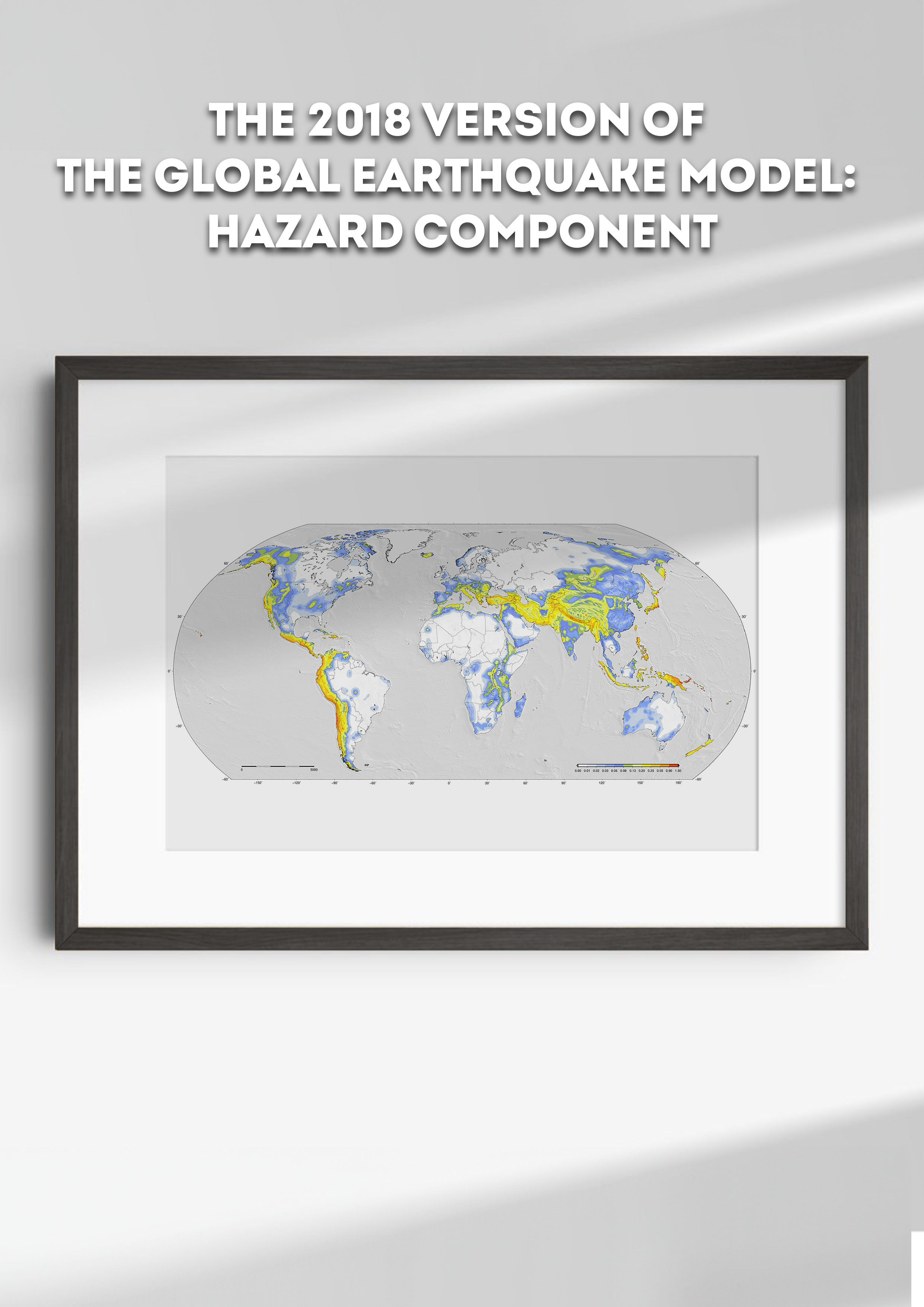
In December 2018, at the conclusion of its second implementation phase, the Global Earthquake Model (GEM) Foundation released its first version of a map outlining the spatial distribution of seismic hazard at a global scale. The map is the result of an extensive, joint effort combining the results obtained from a collection of probabilistic seismic hazard models, called the GEM Mosaic. Together, the map and the underlying database of models provide an up-to-date view of the earthquake threat globally. In addition, using the Mosaic, a synopsis of the current state-of-practice in modeling probabilistic seismic hazard at national and regional scales is possible. The process adopted for the compilation of the Mosaic adhered to the maximum extent possible to GEM’s principles of collaboration, inclusiveness, transparency, and reproducibility. For each region, priority was given to seismic hazard models either developed by well-recognized national agencies or by large collaborative projects involving local scientists. The version of the GEM Mosaic presented herein contains 30 probabilistic seismic hazard models, 14 of which represent national or sub-national models; the remainder are regional-scale models. We discuss the general qualities of these models, the underlying framework of the database, and the outlook for the Mosaic’s utility and its future versions.
bottom of page


