

Global Exposure Model
Comprehensive datasets of the residential, commercial and industrial building stock worldwide
Description
An open version (v2026.0.0) of the model, agreggated at Administrative Level 1, is available for direct download under a CC BY-NC-SA 4.0 license. Users interested in this version can click the "Open Repository" button in the right panel to access the information. The full version for any country/territory, at the highest resolution available or disaggregated to 1km grid cells, can be requested by clicking on the "License Request", where a specific license will be provided, depending on the use case. Additionally, users interested in the previous versions of the Global Exposure Maps can access these from the table at the bottom of this page.
How to cite
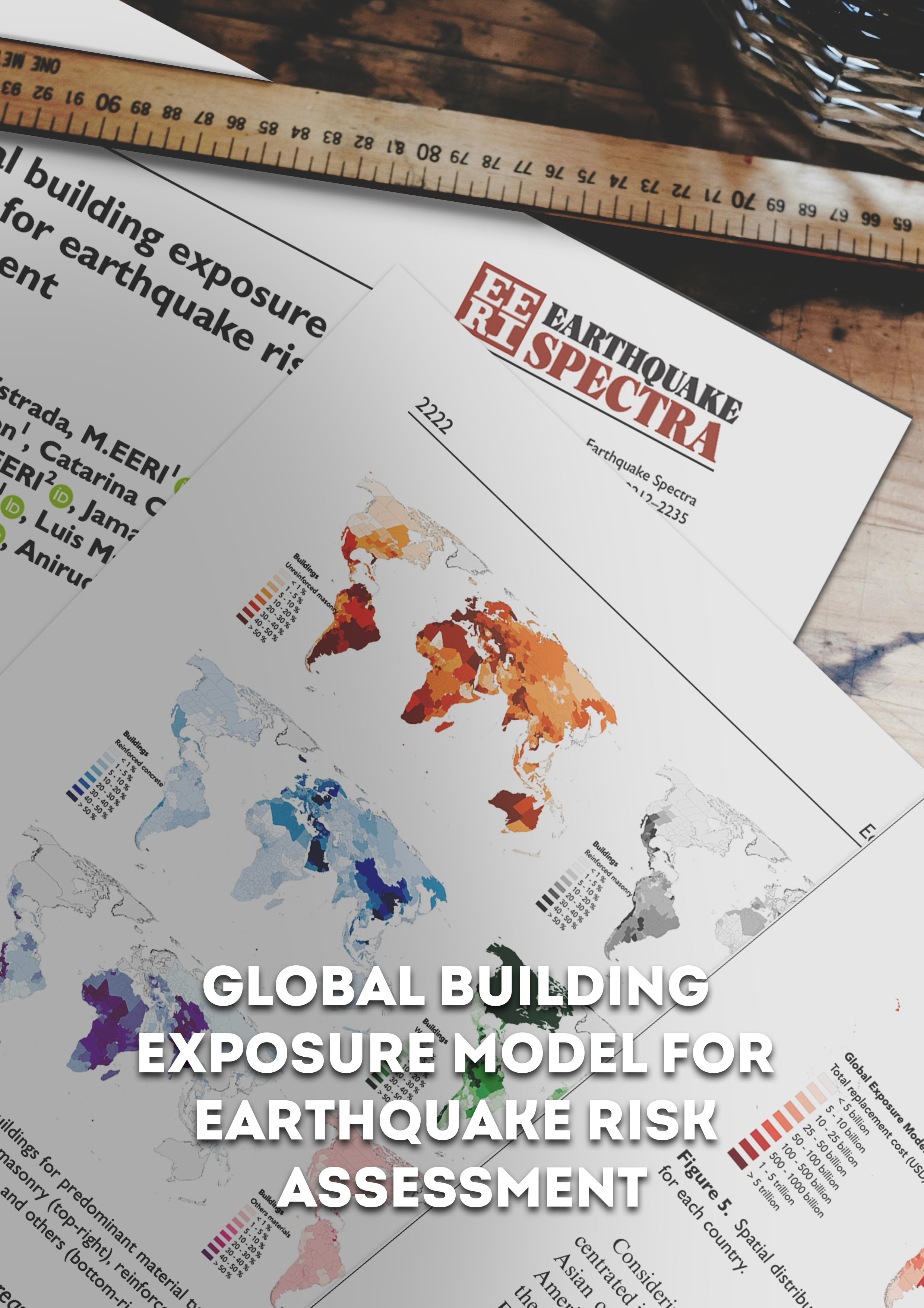
Yepes-Estrada, C., Calderon, A., Costa, C., Crowley, H., Dabbeek, J., Hoyos, M., Martins, L., Paul, N., Rao, A., Silva, V. (2023). Global Building Exposure Model for Earthquake Risk Assessment. Earthquake Spectra. doi:10.1177/87552930231194048
Available versions
The maps for number of buildings and total exposed replacement value are available for direct download, as high-definition PNG files, under a CC BY-NC-SA 4.0 license. Users interested in this version can click the "Open Version Download" button in the right panel to access the information.
If your use case does not meet the open license requirement, or if you are interested in obtaining the full set of layers as a shapefile, please submit a request in our system by clicking on the "License Request", where a specific license will be provided, depending on the use case.
Related products

GEM Building Taxonomy

Global Liquefaction Hazard

Global Map of Road Exposure to Ground Shaking and Liquefaction

Global Seismic Embodied Carbon Risk

OpenQuake Engine
Global Exposure Model

Global Seismic Risk Map

Global Seismic Hazard Map

Global Vulnerability Model

Country-Territory Seismic Risk Profiles
Related publications
Global building exposure model for earthquake risk assessment
